News
Central Florida Faces Increased Rain Chances This Weekend
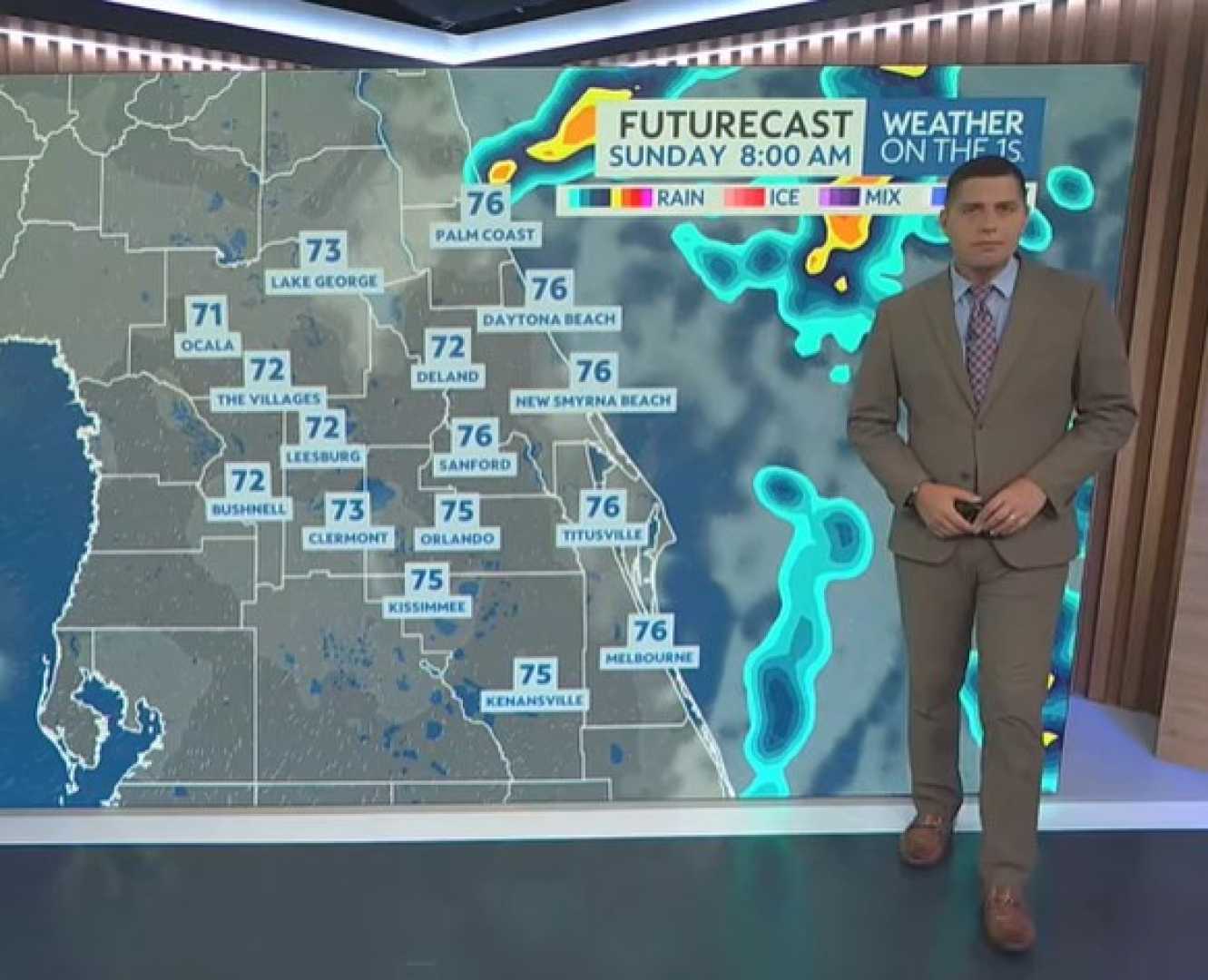
ORLANDO, Fla. — Central Florida is expecting increased rain chances this weekend as a frontal boundary approaches the region, bringing scattered to widespread showers and thunderstorms.
The front is set to arrive this afternoon, with meteorologists warning of pockets of heavy rain and wind gusts reaching up to 30 mph. This change in weather is also expected to keep potential tropical cyclone 9 off the coast, limiting its impact on central Florida.
Coastal areas could experience strong winds of 20 to 30 mph starting Sunday, alongside isolated showers. Although the cyclone is projected to track northward once named, its effects may still be felt along the coast through midweek.
As the current frontal boundary moves in, humidity levels are set to rise, making weekend temperatures feel more like summer than fall. Daily highs are expected to reach the low 90s, while overnight lows may drop to the lower 70s.
In addition, a tropical wave identified as Invest 94L is likely to develop into Tropical Storm Imelda. As this system moves towards South Carolina, parts of Florida including the east coast will need to be vigilant for possible high surf and gusty winds on Monday and Tuesday.
Local meteorologists remind residents to keep an umbrella handy and stay aware of changing weather conditions, as scattered storms could lead to brief downpours and gusty winds throughout the weekend.


