News
Arctic Blast Brings Possibility of Snow Flurries to Alabama
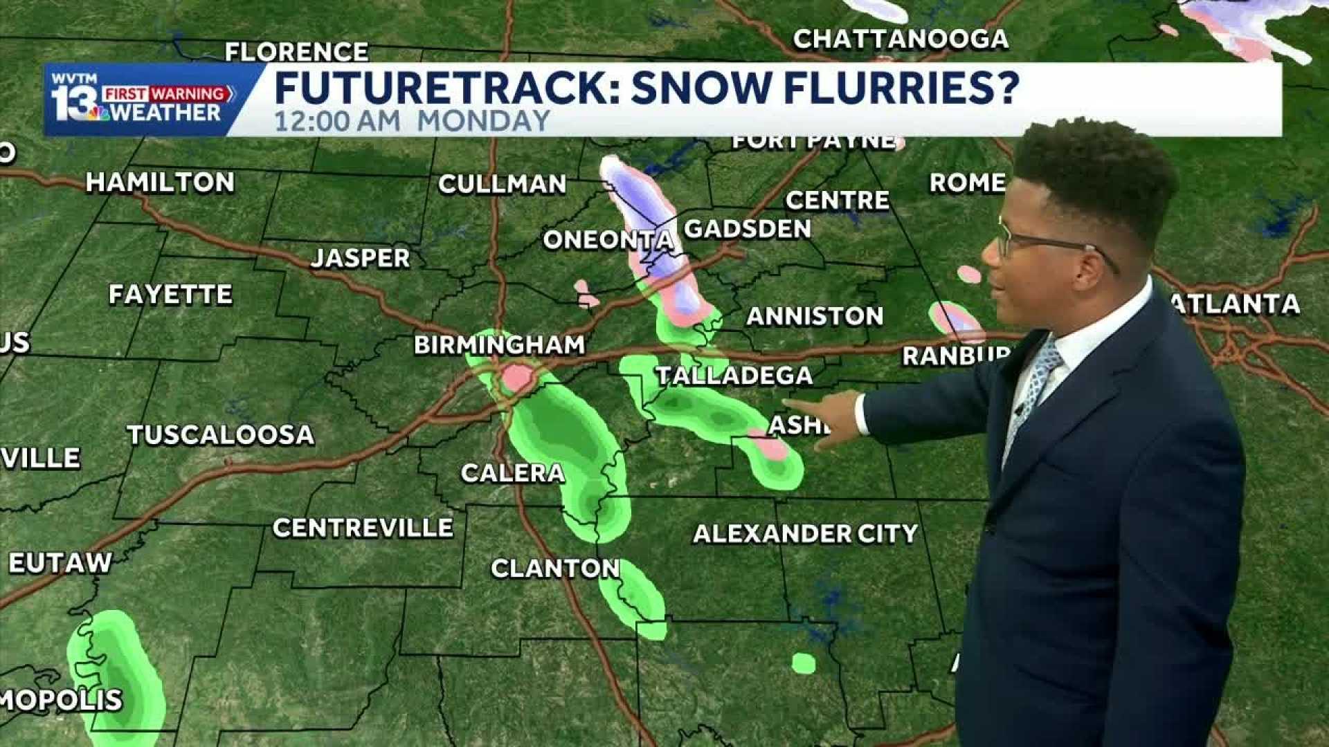
BIRMINGHAM, Alabama – A significant cold front is set to sweep through Alabama this weekend, with the potential for snow flurries in some areas. The National Weather Service reported on Saturday that parts of North Alabama could see a brief mix of rain and snow from Sunday afternoon through Sunday evening, and possibly into Monday morning.
Despite the slim chance of flurries, no impactful snowfall accumulations are expected. Forecasters noted that temperatures across the state will drop dramatically starting Sunday, with some areas potentially experiencing record low temperatures on Sunday and Monday nights.
The National Weather Service indicated a freeze watch for Sunday night, as cold air from Canada will move into the region. Wind chills are expected to plunge into the 30s and 40s during the late afternoon on Sunday, following a morning that sees temperatures in the 50s and 60s.
By Monday morning, temperatures will dip to the low 30s, but the wind chill will make it feel colder, possibly down to the 20s. Forecasts suggest that afternoon highs on Monday will only reach the 40s, with some regions like Birmingham potentially breaking records for the coldest temperature on that date.
Leigh Morgan, a seasoned weather journalist for AL.com since 2013, conveyed the anticipation of this cold wave, reminding residents to prepare for potentially historic low temperatures. According to Morgan, if Monday feels cold, Tuesday could be even chillier, with morning temperatures dropping into the 20s.
The anticipated cold snap is expected to be short-lived, as temperatures are projected to recover into the 60s by Wednesday and Thursday and even warmer 70s by Friday.
As the weekend approaches, people in Alabama are urged to stay informed about the weather and prepare for the upcoming cold.


