News
Central Texas Faces Severe Weather Threat Over Memorial Day Weekend
WACO, Texas — Central Texas is bracing for severe weather this Memorial Day weekend as morning storms clear and new storms are expected to develop later today. The National Weather Service has declared today a First Alert Weather Day, warning residents to stay alert for impacts to outdoor plans.
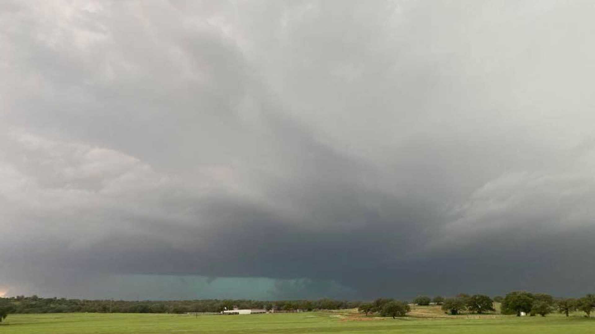
The primary hazards from these storms today include large hail and strong wind gusts. Afternoon storms are forecasted to have the highest chance of producing very large hail and heavy rain, with additional rainfall potentially causing flash flooding. A Flood Watch is currently in effect through Tuesday morning for most of Central Texas, excluding Lampasas, Hamilton, Mills, and San Saba Counties.
Morning rainfall totals reached 1 to 2 inches across areas near and east of I-35, with additional storms expected to add another inch or more. The expected instability in the atmosphere could lead to more severe weather in the late afternoon and evening hours, according to local meteorologists.
A stalled boundary from previous storms may serve as a trigger for new isolated storms in the early afternoon, which could gradually intensify as they move eastward into Central Texas. Residents are urged to monitor the situation closely, as these storms could produce a few isolated tornadoes.
As the evening progresses, thunderstorms are likely to cluster together, with the risk of strong winds and potentially hail up to golf ball size becoming the primary concern. While severe weather risks are expected to wane as storms move over areas that have already experienced rainfall, pockets of heavy rain could still pose risks of localized flooding.
Since nighttime storms can produce rare occurrences like heat bursts, temperatures can briefly spike due to atmospheric conditions. Fortunately, Central Texas residents only experienced moderate temperature rises overnight, remaining mostly in the 70s this morning.
Looking ahead, the latter half of the holiday weekend may not be ideal for outdoor activities, with rain chances increasing significantly overnight into Monday. Thunderstorms are anticipated to move through Central Texas after midnight Monday, though they may weaken as they approach.
A strong cold front is also expected to bring more storms on Monday afternoon, enhancing the likelihood of severe weather with additional thunderstorms forecasted throughout the week. Residents are advised to prepare for potential disruptions caused by severe weather and to remain vigilant for updates.


