News
Evacuation Warnings as Southern California Prepares for Heavy Rainstorm
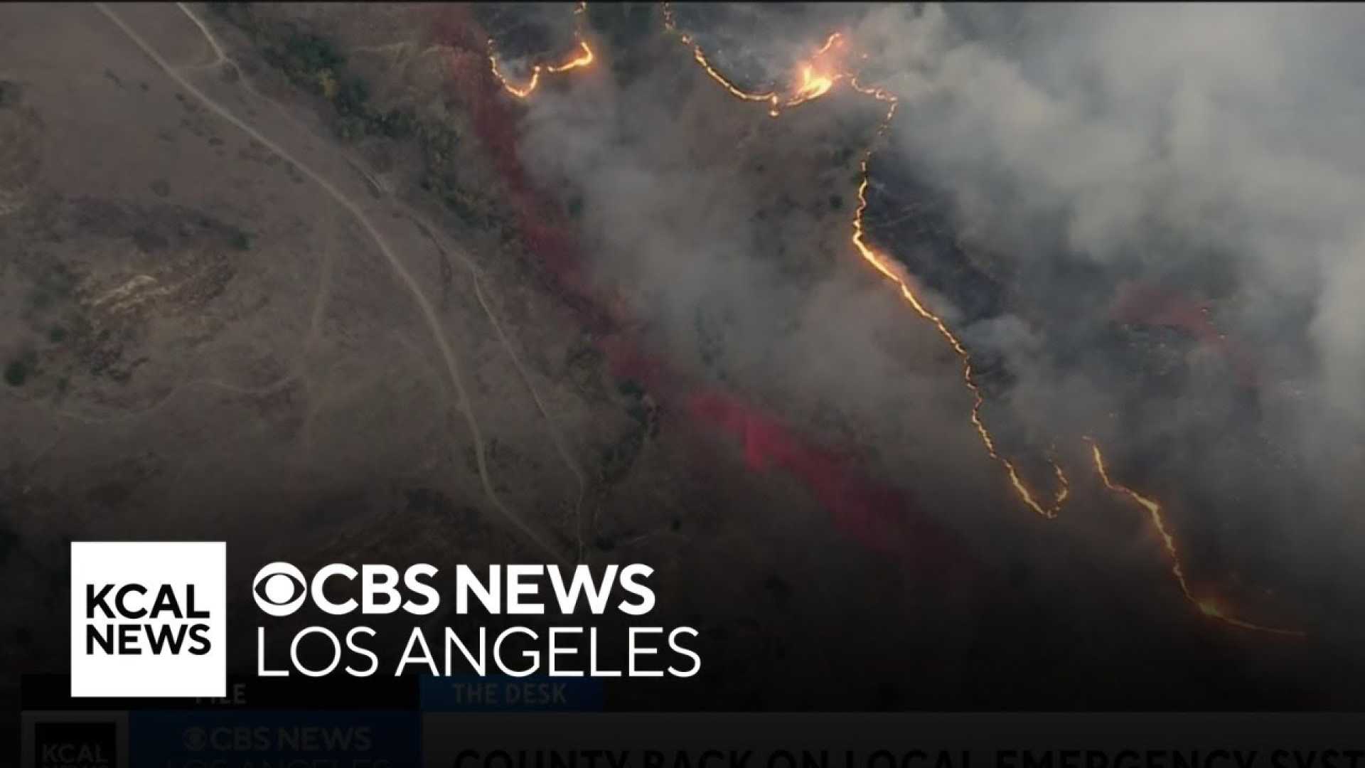
LOS ANGELES, Calif. — Southern California is bracing for what is projected to be the heaviest storm of the season, prompting evacuation warnings for burn areas affected by recent wildfires. The storm, which is forecasted to deliver intense rainfall starting Thursday, February 13, has officials concerned about potential mudslides and debris flows.
Evacuation warnings will be in effect beginning at 7 a.m. Thursday and lasting until 2 p.m. Friday in high-risk zones throughout Los Angeles County. These areas include the Pacific Palisades, Hurst, and Sunset fire burn zones, where officials anticipate the heaviest precipitation and the greatest risk of natural disasters.
Los Angeles Fire Department officials have identified specific neighborhoods at risk, including the Getty Villa area, the Highlands, and areas around Temescal Canyon Park. Mayor Karen Bass‘ office announced that access to the Pacific Palisades will be restricted to residents during the evacuation period.
Further warnings apply to the Eaton fire burn zone in Altadena, the Sunset fire burn zone in Runyon Canyon, and additional areas near the Kenneth burn scar in West Hills. This precaution aims to protect residents following the devastating impact of January’s wildfires.
In preparation for the incoming storm, city crews are implementing measures designed to capture mud and debris runoff. Los Angeles County Public Works Director Mark Pestrella confirmed that over 7,500 feet of concrete barriers and more than 6,500 sandbags have been deployed to vulnerable locales, especially around the Palisades and Eaton fire areas.
“The flood control system is prepared. We expect an extraordinary amount of debris in certain portions of the streets,” Pestrella stated during a Wednesday press conference. “Residents near slopes should stay vigilant and report concerns to us.”
Weather forecasts predict rainfall rates could exceed half an inch per hour in some burn scar regions, increasing the risk of debris flows. According to meteorologist Ryan Kittell, the most intense rainfall in Los Angeles County is anticipated between 2 p.m. and 10 p.m. on February 13.
Los Angeles County Supervisor Lindsey Horvath acknowledged the potential for “emergency fatigue” among residents but urged vigilance as conditions may escalate quickly. “Staying informed is crucial for your safety,” she commented.
In addition to evacuation warnings, the Santa Monica-Malibu Unified School District has announced the closure of all Malibu campuses on Thursday due to weather concerns. Property owners in burnt areas have also been contacted, with warnings about landslide risks along the burn scars.
Crews have been working continuously to clear debris and enhance safety measures in anticipation of the storm. Previous storms in the area, although mild, have already filled debris basins that must accommodate additional runoff.
The National Weather Service has issued flood watches that will be effective from 10 a.m. Thursday through 10 p.m. Friday across recent burn areas. The storm is also expected to affect northern regions of California, including the Bay Area, posing risks for flooding and landslides.
Residents are encouraged to prepare sandbags, stay off roads if possible, and heed any evacuation orders that may arise. As rainfall persists, officials caution that the risk of more severe debris flows is present, stemming from the combination of rain and wildfire remnants.


