Gale Warnings Issued as Storm Brings High Waves and Heavy Snow to Michigan
LAKE MICHIGAN, MI — A powerful storm system sweeping across the U.S. is predicted to generate waves near 20 feet on Lake Michigan and Lake Huron starting later today and into early Thursday. The National Weather Service has issued Gale Warnings for both lakes, alerting the public to dangerous conditions.
Lake Michigan will experience gale-force winds that may exceed 50 mph and waves reaching between 15 and 19 feet. The Gale Warnings will be in effect from late Wednesday afternoon through mid-Morning on Thursday. Additionally, a Wind Advisory has been announced for counties along the Lake Michigan shoreline, spanning from St. Joe to Ludington, from 7 p.m. Wednesday until 7 a.m. Thursday.
“These high winds have the potential to cause significant travel problems and may lead to downed tree limbs and power outages,” a National Weather Service spokesperson said.
On Lake Huron, both a Gale Warning and a Freezing Spray Warning will be active today and Thursday. Winds across Lake Huron could reach up to 42 mph with wave heights between 13 and 19 feet expected from 2 a.m. to 10 p.m. Thursday. Concerns about unstable ice have also been raised as conditions deteriorate.
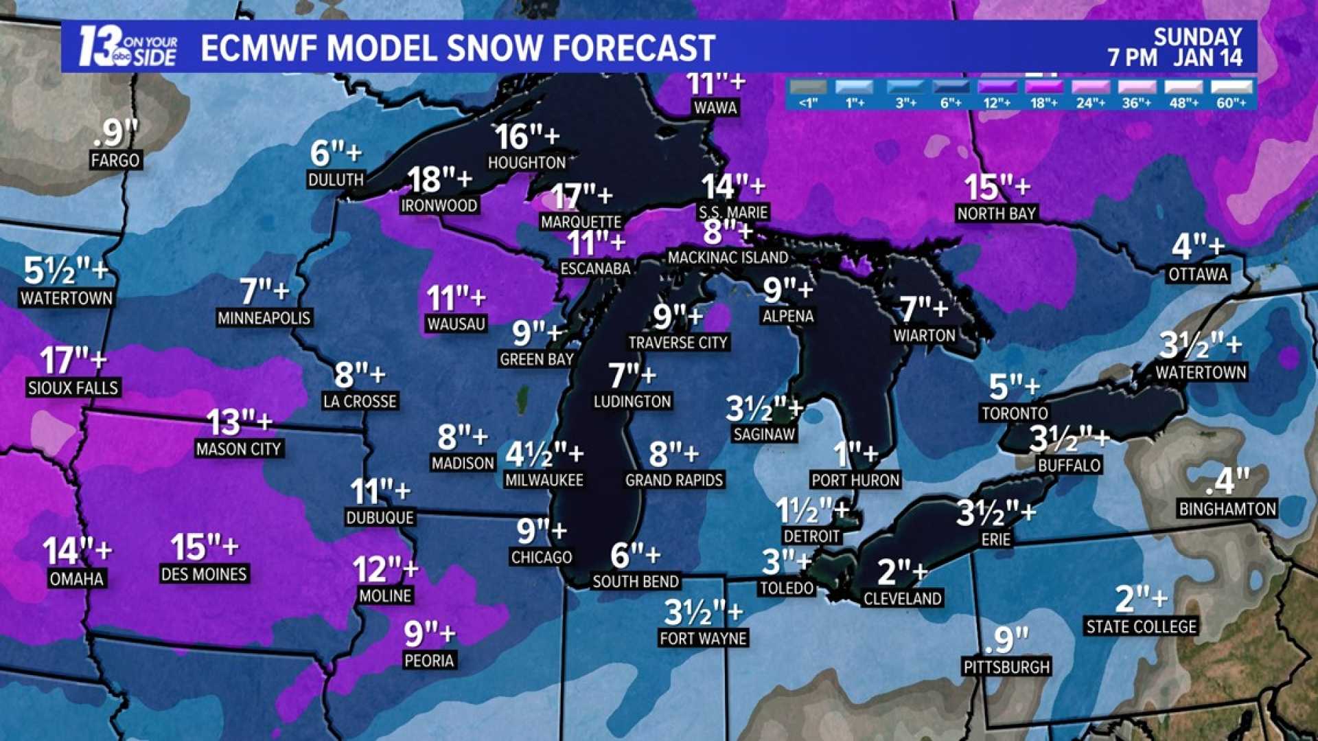
As the storm progresses into the weekend, the National Weather Service forecasts a lack of significant snowfall for most of the U.S., except for Michigan and parts of the East Coast.
In Michigan, light snow mixed with rain will affect the southern half of the Lower Peninsula, while heavier accumulations of 6 to 12 inches are anticipated for Northern Michigan and the Upper Peninsula between today and Saturday. Winter Storm Watches are currently active for nearly a dozen counties in the northern region.
According to the National Weather Service in Gaylord, “The potential for significant snow (>6 inches) from the Straits northward begins late tonight. Strong winds combined with moderate to heavy snowfall rates will lead to swift accumulations on roadways and hazardous travel into Friday.”
The forecast for the western Upper Peninsula includes patchy freezing drizzle that might create slippery conditions early Wednesday. However, light lake-effect snow showers are expected later in the day, with considerable snowfall predicted late tonight into Friday evening.
In West Michigan and Southeast Michigan, residents should anticipate fog this morning, which will give way to a wintry mix of rain and snow this afternoon. Meteorologists are urging caution among outdoor enthusiasts, as the severe weather could impact both ice fishermen and shoreline spectators.