News
Los Angeles Prepares for Major Storm and Flood Risks This Weekend

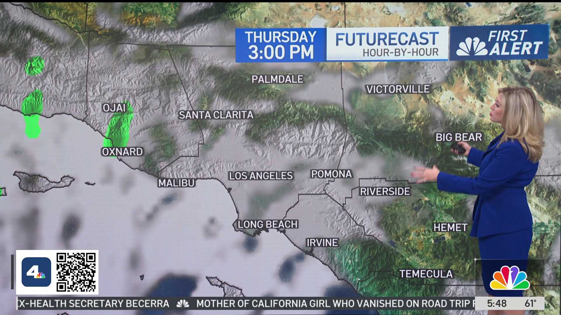
LOS ANGELES, California — Evacuation warnings were issued across Los Angeles County on Thursday evening as an atmospheric river approached Southern California, bringing the potential for heavy rainfall and a chance to end the fire season. The storm is expected to arrive Friday morning and continue through Sunday.
According to the National Weather Service, downtown Los Angeles could see up to 2.62 inches of rain during this period. Some forecasts suggest a maximum of 4.81 inches may fall, raising concerns about significant flooding and debris flows, particularly in burn areas from recent wildfires.
“There’s still a pretty substantial potential for heavy rain over parts of our area,” meteorologist Ryan Kittell said. He warned that Saturday is particularly risky for flash flooding and debris flows.
In response to risks, evacuation warnings are in effect for regions near recent wildfires, including the Palisades and Eaton fire areas. The public is advised to prepare for possible evacuations and to avoid flooded routes.
Southern California has experienced heightened fire risks due to extreme heat and drought conditions from climate influences like La Niña. Rainfall of 3 to 4 inches is typically needed to mitigate fire risks and signal the end of fire season. This upcoming storm offers a chance to reach those critical thresholds.
Last year, downtown Los Angeles saw minimal rainfall, compounding fire risks. This storm’s approach brings hope for a wetter winter after a dry start to the rainy season. However, Kittell cautions that weather unpredictability remains a concern as the storm system evolves.
Peak rainfall rates on Saturday could reach between 0.75 and 1.25 inches per hour, with some areas at even higher risk for mudflows and flash flooding.
While a historic amount of rain could benefit the region, Kittell also advised residents to be cautious, urging anyone to stay indoors during severe weather conditions.


