News
Major Storm System to Impact Colorado with Heavy Snow and Rain

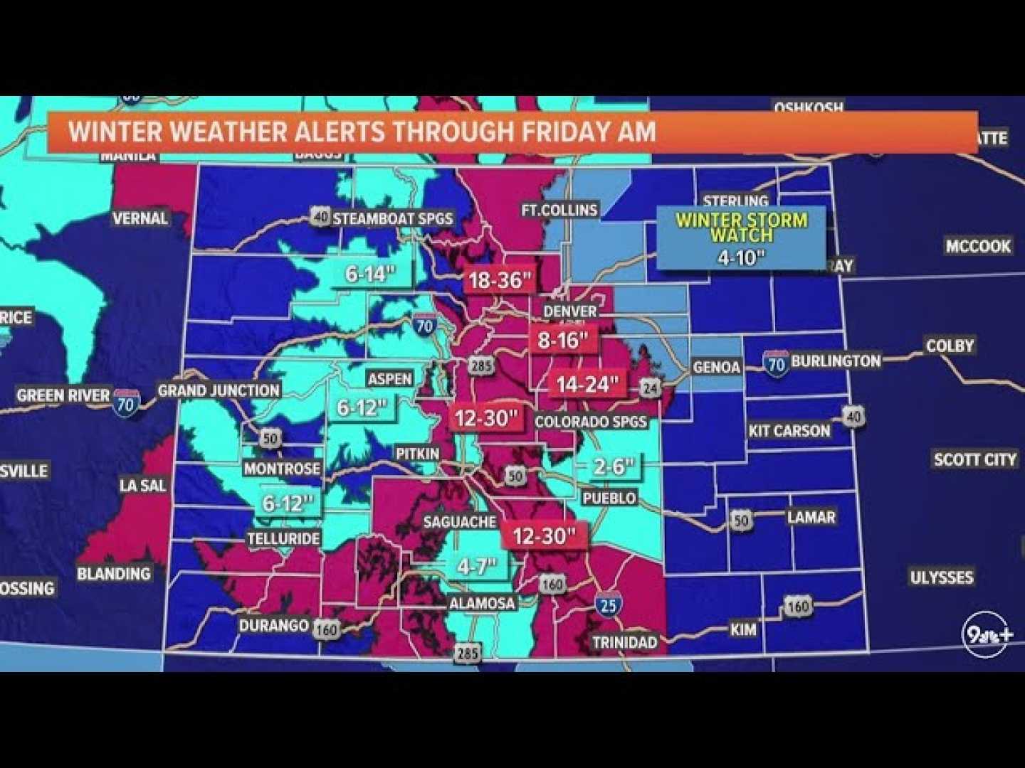
A significant storm system is forecasted to move into the Rocky Mountain region, impacting Colorado with substantial weather changes after more than three weeks of dry conditions. This development brings both rain and heavy snowfall, primarily affecting the state’s mountainous areas.
According to the National Weather Service, the storm is expected to arrive in the southwestern mountains of Colorado, with predictions indicating the potential for up to two feet of snow. The San Juan Mountains are likely to be most affected, where snowfall could reach one to two feet. Additionally, the central and northern mountain regions might receive between three to eight inches, with some isolated locations possibly experiencing higher amounts. Motorists are cautioned about potentially slick driving conditions over mountain passes from Saturday into Sunday.
The storm will also bring rain to the Denver metro area, with precipitation expected from Friday night into Sunday. Forecasters predict rainfall amounts in many areas could surpass half an inch. Prior to the arrival of the storm’s main body, the eastern plains will confront windy and dry conditions. Consequently, a Red Flag Warning for high fire danger has been issued, effective from 10 a.m. to 6 p.m. on Thursday. This warning spans from east of Denver International Airport and Aurora into Nebraska, anticipating wind gusts up to 35 mph and humidity levels under 15 percent.
For ongoing updates, residents can watch First Alert Chief Meteorologist Dave Aguilera‘s forecasts on CBS News Colorado or utilize their free streaming services.


