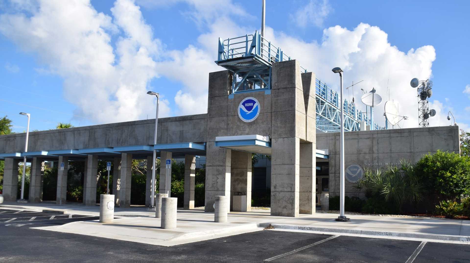
New Area Monitored as Hurricane Season Begins in Florida

MIAMI, Florida – The National Hurricane Center (NHC) is watching a new area in the Atlantic Basin for potential storm development as the 2025 hurricane season kicks off. This area has a low chance of formation over the next week but brings an elevated risk of heavy rain to South Florida.
This week, South Florida residents can expect several days of heavy rain fueled by tropical moisture from the Gulf and Caribbean. Forecasts predict that cities like Miami and Fort Lauderdale could receive between 3 to 5 inches of rainfall by Friday.
On Monday, NHC Director Michael Brennan addressed this developing system on FOX Weather. He stated that while forecasts vary on the system’s exact path, most downpours are expected to impact South Florida. A few severe storms may also develop, particularly across the Florida Peninsula.
According to the National Oceanic and Atmospheric Administration’s (NOAA) Storm Prediction Center, a severe thunderstorm watch has been issued. The Weather Prediction Center has also declared a Level 2 out of 4 flash flood threat for South Florida on Monday and Tuesday. “With tropical afternoon thundershowers, you’ve got the heavy rain,” warned FOX Weather Meteorologist, Stephen Morgan.
Brennan noted that June is typically a prime time for storms to form in the region, particularly from the Gulf through Florida. “This is where we tend to see storms form in June,” he added. The NHC highlighted that if the system moves off the southeastern U.S. coast, there might be a chance for tropical development.
Meanwhile, by Thursday, South Florida could see additional tropical moisture and thunderstorms, helping to alleviate dry conditions as the region exits its dry season. Brennan emphasized the importance of monitoring this system as it moves closer to land.
