News
Portland Braces for Cold Snap as Polar Air Moves In

PORTLAND, Ore. — A significant shift to colder weather is expected to settle over the Portland area later this month, with temperatures potentially dropping 3 degrees below average in February, according to KGW Meteorologist Rod Hill. The change, driven by a southward dip in the polar jet stream, could bring prolonged cold and increased chances of snow at lower elevations.
Following a warmer-than-normal December and recent mild weather, the region is bracing for a potential cold snap starting around Jan. 22. While no specific snow projections are available, Hill noted that the colder pattern opens the door for snow opportunities in the coming weeks. “At this time, there is no credible snow projection,” Hill said. “Other than to say, a transition into a colder weather pattern will open the door for snow chances at low elevations in the coming weeks.”
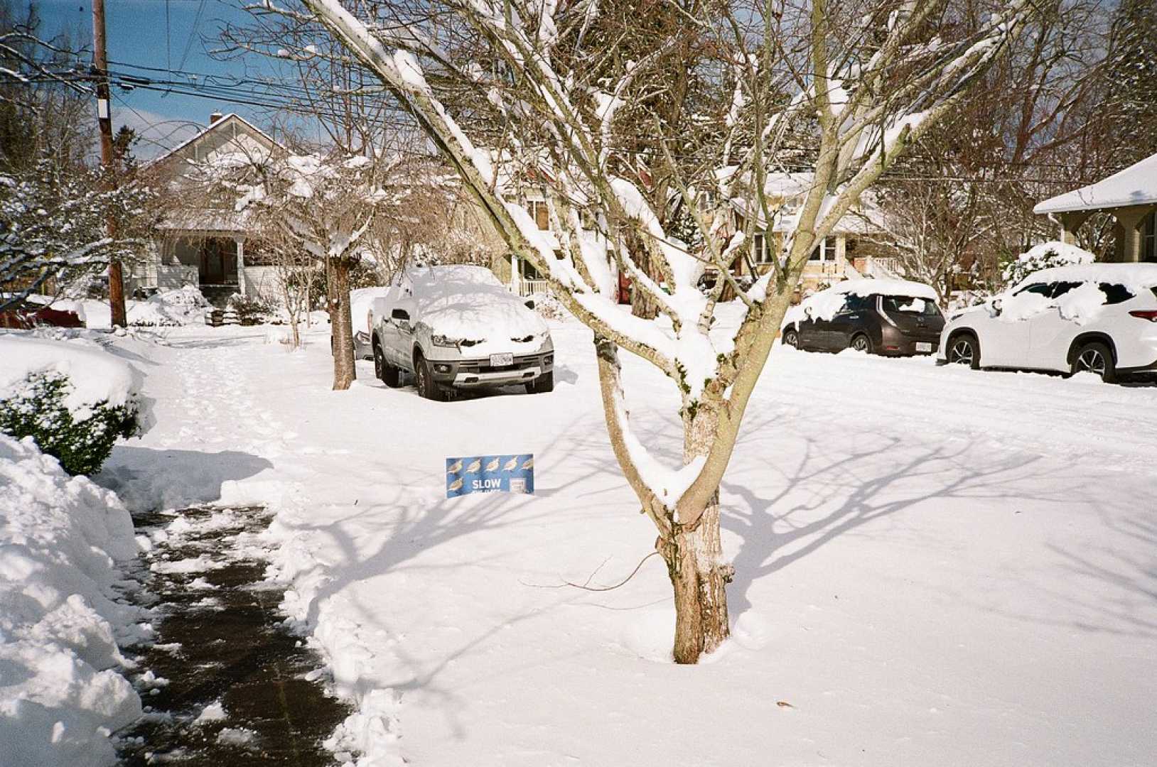
Portland has experienced severe winter weather in recent years, including last January’s snow and ice storm that paralyzed the city for days. KGW Meteorologist Matt Zaffino emphasized that the window for snow typically closes by mid-February. “We’ve got at least a month and a half before we can say ‘OK, we’re probably not going to get snow,’” Zaffino said. “Once it hits mid-February, the odds of getting snow in Portland really drop off.”
Weather models suggest the polar jet stream will push colder air into the Pacific Northwest, potentially leading to multiple weather systems. Early forecasts indicate February could average 3 degrees below normal, with the possibility of prolonged cold. However, the exact impact remains uncertain, as models are still two weeks out from the predicted shift.
Residents are advised to prepare for colder conditions, though the extent of snowfall and freezing temperatures remains unclear. The region’s recent mild weather has left snowpack in higher elevations, but lower areas remain largely bare. A pattern change in late January could bring significant snow to elevations below 4,000 feet, according to meteorologists.
As Portlanders enjoy a rare sunny day this week, the focus shifts to the potential for a colder, snowier second half of January. Meteorologists will continue to monitor trends in weather models to provide updates on the evolving forecast.


