News
Severe Storms and Flood Watches Affect Mid-South Through the Weekend

MEMPHIS, Tenn. – A historic rain and storm event is impacting Memphis and the Mid-South, with a Flood Watch in effect from Wednesday afternoon through Sunday at 1 p.m. CT. As severe weather conditions evolve, the National Weather Service has issued several warnings and advisories for the area.
Communities along numerous rivers, streams, and low-lying areas are under Flood Warns, with an Enhanced and Moderate Risk (levels 3 and 4 of 5) of strong to severe storms persisting into Saturday. A total rainfall accumulation of between 9 to 15 inches, with localized areas potentially seeing up to 19 inches, is expected.
Tonight, the weather forecasts call for scattered showers and thunderstorms, alongside temperatures dropping to near 70 degrees. According to the forecast, Memphis can expect additional rainfall of 1 to 2 inches overnight.
The following day, Saturday will bring heavy rain along with strong thunderstorms as the temperature reaches the upper 70s. Meteorologists predict an extra 2 to 5 inches of rain, on top of already saturated ground from previous days.
As the storms continue, Sunday is expected to be much cooler with a chance of lingering showers, further complicating flood conditions.
Memphis Red Birds are scheduled to play the Louisville Bats in Louisville, KY, on both Friday and Saturday, with games at 6:05 p.m. and 1:05 p.m. CT respectively, raising concerns about rain delays and severe weather impacting the matches.
The National Weather Service has detailed specific Flood Warnings for areas including Central Crittenden County in eastern Arkansas, Shelby County in Tennessee, and Tipton County in Tennessee. Heavy rain and strong storm activity have already produced significant rainfall across multiple areas, with forecasts suggesting more severe conditions will worsen the impacts of flooding.
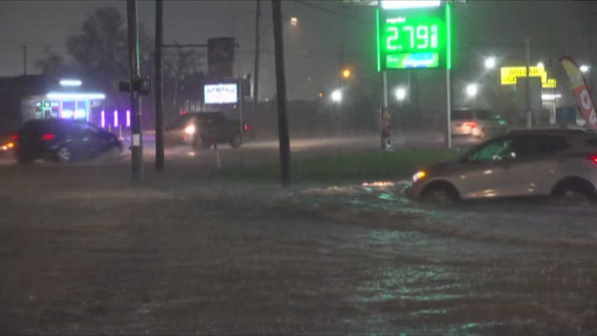
Residents are urged to take precautions, as flash flooding can occur rapidly. “Turn around, don’t drown” is the advised motto when encountering flooded roads. The agency emphasizes that most flood deaths happen in vehicles, making it essential for residents to recognize the dangers of flooding.
In related weather news, severe thunderstorm warnings have populated the region, and a flash flood watch has also been issued for portions around the area, including east Arkansas and west Tennessee. Areas such as Germantown and Rossville have been reported to be near flood stage, with agencies monitoring the situation closely.
As local crews work to manage the flooding risks, the National Weather Service warns that excessive rainfall could raise creeks and rivers out of their banks, leading to extensive street flooding. Monitoring efforts are underway, and additional resources are being deployed to support potential flood recovery.
Residents should remain vigilant and prepared, as the storm system continues to evolve through the weekend. Regular updates from the National Weather Service and local meteorological outlets will provide the latest developments and safety instructions.


