News
Severe Storms Forecasted for Knoxville as Winds Intensify
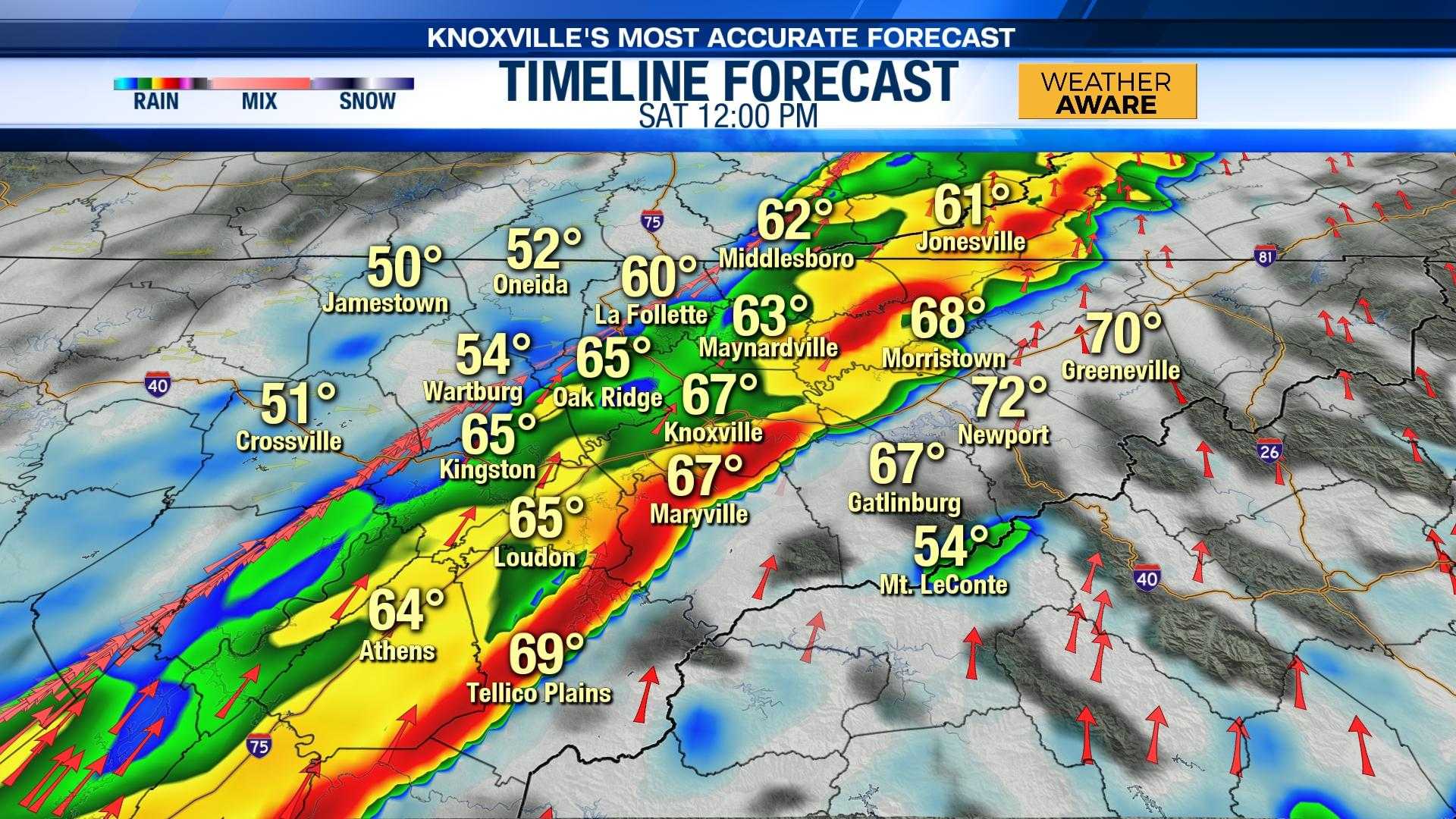
KNOXVILLE, Tenn. (WVLT) – Strong to severe storms are expected to move through Knoxville on Sunday morning, with heavy rain and strong winds prompting a First Alert Weather Day.
The National Weather Service has issued warnings for the region due to anticipated wind gusts reaching 45 mph and possible flash flooding. Forecasts indicate a 90% chance of precipitation, with rainfall amounts potentially between a quarter and half an inch.
“The significant rainfall overnight could lead to water accumulation and other hazardous conditions,” said local meteorologist Chris Michaels. “We urge residents to stay tuned to local updates and ensure they have a way to receive alerts while they sleep.”
Saturday evening will see a lull in the precipitation before the storms return early Sunday morning. The system is expected to pass through before sunrise, with temperatures hovering in the mid-50s. Winds are predicted to increase throughout the night, creating concerns for downed trees and power lines.
In the lead-up to Sunday, a Wind Advisory is already in effect for the area, while the Smoky Mountains face a High Wind Warning. Local authorities are advising residents to secure any outdoor belongings.
The forecast also predicts considerably cooler temperatures for Sunday night, dipping to around 28 degrees. As the week progresses, additional cold fronts could bring snow and ice as temperatures plummet into the teens and single digits.
“This next week is particularly concerning due to the freezing conditions expected by midweek, impacting travel and safety,” Michaels added.
For the latest weather updates and custom alerts, residents are encouraged to download the WVLT First Alert Weather app.


