News
Severe Storms Strike Central Ohio as Weather Alert Issued
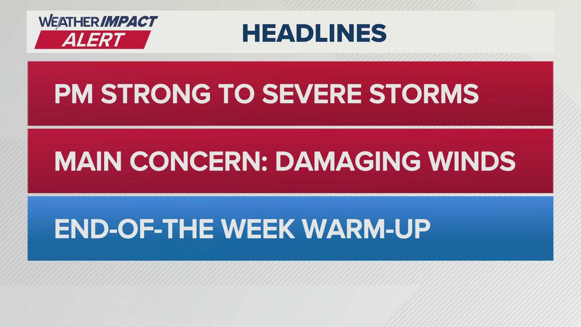
COLUMBUS, Ohio — Severe storms swept across central Ohio on Monday, April 14, 2025, with heavy rain and damaging winds expected to impact the region through the evening. The Storm Prediction Center issued a weather alert with a level one and two risk for severe thunderstorms, starting around 3 p.m. and anticipated to leave the area by 10 p.m.
The most severe weather is forecasted for the southeastern counties, where conditions remain prime for large hail and high winds. “We are seeing strong thunderstorms today, especially in the afternoon as they cross the state,” said Michael Behrens, a meteorologist with the 10 Weather Impact Team. “The highest risks are focused between 3 p.m. and 9 p.m., with an isolated tornado also a possibility, although flooding is not expected.”
Storm activity is expected to dissipate significantly by 8 p.m., leading to cooler temperatures tonight, with lows dipping into the 40s. Tuesday is forecasted to bring highs only in the low 50s, with some scattered rain showers expected throughout the day.
On Wednesday, sunshine is predicted to return, but breezy conditions will keep temperatures mild. “Wednesday will offer a pleasant break after this stormy weather, with lots of sunshine but still cooler than normal for this time of year,” Behrens added.
In a broader context, millions across a wider region, including areas from Cincinnati to Washington, D.C., are experiencing the storm’s effects. Powerful storms dropped significant hail across parts of Ohio and West Virginia this afternoon. An eyewitness, FOX Weather reporter Brandon Copic, described “copious amounts of hail” near Wheelersburg, Ohio, where the aftermath created hazardous hail fog conditions.
As the storm tracked east, the National Weather Service issued a Severe Thunderstorm Watch for many areas, particularly in central and eastern Kentucky, southern Ohio, southwestern Pennsylvania, and parts of West Virginia. The weather is expected to stabilize later in the week with a chance for rain returning Friday night. By then, conditions may also favor severe thunderstorms as a fresh front moves in.
In West Virginia, where thunderstorms persist, the National Weather Service has indicated that the severe storm threat is diminishing, particularly north of US-50. As the night progresses, showers are expected to replace the thunderstorms.
As the workweek continues, residents should prepare for fluctuating temperatures and possible scattered showers leading into a warmer weekend. With high pressure expected to return on Wednesday afternoon, the forecast points to a warmer Thursday and potentially a mix of sun and clouds over the weekend. However, the system could bring back moisture and the possibility of rain and storms into next week.


