News
Severe Storms and Tornado Watch Issued Across Oklahoma
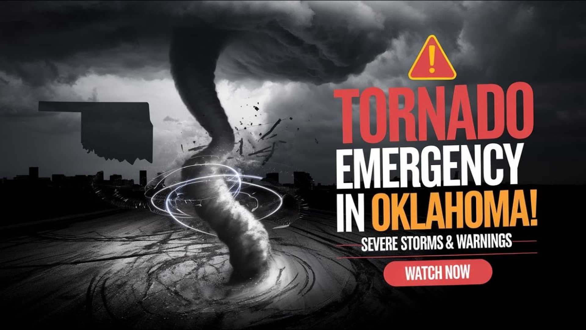
OKLAHOMA CITY, Okla. — A tornado watch is in effect for much of Oklahoma Saturday night as severe storms are predicted to sweep across the state. The National Weather Service (NWS) indicated that these storms may bring large hail and the threat of tornadoes, with significant weather activity expected from Saturday evening through the overnight hours.
KOCO 5 Chief Meteorologist Damon Lane reported that the storms are predicted to begin entering western parts of Oklahoma around 7 p.m., expanding into central regions, including the Oklahoma City metro, by 10 p.m. The storms are likely to persist until early Sunday morning, with a projected timeline indicating they will exit the state by 1 a.m.
Currently, various severe thunderstorm warnings have been issued throughout the state. As of 10:20 p.m., a severe thunderstorm warning remains active for northeastern Grady, southwestern Oklahoma, northwestern Cleveland, southeastern Canadian, and northwestern McClain counties, with hail reaching the size of tennis balls being reported.
Additional zones affected include:
- West Central Garvin, Southeastern Grady, and Northeastern Stephens Counties until 10:30 p.m. – Potential hail up to the size of ping pong balls.
- North Central Washita, Northwestern Caddo, Eastern Custer, and Southwestern Blaine Counties until 10:45 p.m. – Expected wind gusts up to 60 mph and quarter-sized hail.
- Northwestern Garvin County and Eastern Cleveland County until 10:45 p.m. – Focusing on quarter-sized hail.
Throughout the evening, warnings have expanded to encompass additional counties such as Cleveland, Garvin, McClain, and Pottawatomie, with multiple locations potentially impacted by severe weather, including Oklahoma City, Mustang, Yukon, and Chickasha.
The NWS has heightened concerns about potential tornado activity in counties comprising Canadian, Cleveland, Grady, and Oklahoma, advising residents to stay informed and prepared. The tornado index is calculated at 2-3 out of 10 in areas including Enid, Stillwater, and Bartlesville, indicating moderate risk for tornado formation. Isolated wind gusts could reach up to 80 mph.
Joseph, a meteorologist with the NWS, emphasized that hail is the primary concern for tonight’s storms, noting the possibility of varied hail sizes affecting areas from Clinton to Oklahoma City and Stillwater. The severe storm risk has been categorized as a level 2 slight risk for parts of northeastern and central Oklahoma, encompassing a significant portion of the Oklahoma City metro area.
Residents are advised to review their emergency plans, secure outdoor items, and remain in safe shelters during storm events. Additionally, downloading the KOCO 5 weather app is recommended to receive personalized weather alerts.


