News
Severe Thunderstorm Warnings Issued for Omaha, Nebraska
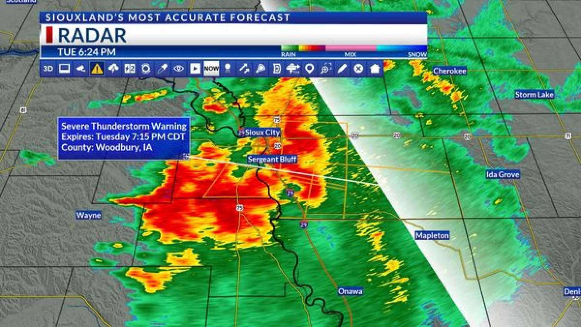
OMAHA, Neb. (WOWT) – A severe thunderstorm warning has been issued for the Omaha area as storms move through Nebraska and Iowa on Thursday. The warning affects northeastern Douglas County and western Pottawattamie County until 5:30 p.m.
Additionally, a tornado warning in effect for eastern Douglas County and southwestern Pottawattamie County is set to expire at 5 p.m. Earlier in the day, a tornado warning was issued for northwestern Saline County in southeastern Nebraska, which expired at 3:45 p.m.
The National Weather Service has also released a flash flood warning that will remain in effect until 7:45 p.m. for southeastern Douglas County and west-central Pottawattamie County. Meteorologists predict widespread rain throughout the evening, with expected accumulations of 1 to 2 inches by Friday morning.
Looking ahead, Omaha’s Weather Leader has marked Monday as a “severe” weather day, with the Storm Prediction Center indicating a 15% to 30% chance of severe weather, including the potential for another round of tornadoes.
Ongoing weather updates are available via the KETV mobile app to keep residents informed. As of Thursday morning, models predict a greater chance for strong storms with wind and hail during the day, mainly between noon and 4 p.m.
Despite the risk of severe weather, rain remains beneficial. A total of 1/2 inch to 2 inches of rain may be recorded throughout the day. Temperatures are forecasted to remain steady, ranging from the middle to upper 60s.
As the week progresses, more rain is anticipated into the weekend, though most of it could taper off early Friday, leading to a relatively dry Saturday. The possibility of rain returns on Sunday and Monday, with a heightened risk for severe weather.


