News
Severe Thunderstorms Expected in Rochester, NY Thursday
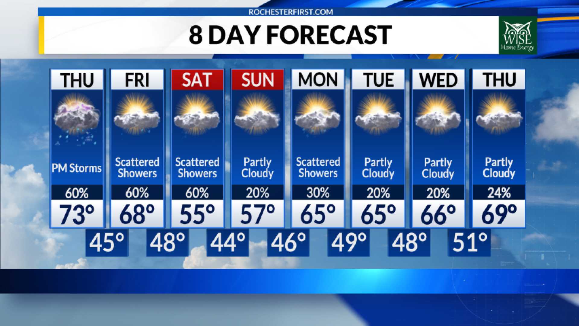
ROCHESTER, N.Y. – Residents of Western New York should prepare for severe thunderstorms as a warm front followed by a cold front moves through the region on Thursday afternoon and into the evening. The News10NBC First Alert meteorologists have issued a Yellow Alert due to the potential for strong storms with damaging winds and hail.
The storm activity is expected to intensify between 5 and 10 p.m., with the possibility of severe weather impacting areas especially in the Finger Lakes region, southeast of Rochester. At this time, tornadoes are not anticipated, but gusty winds and hail are likely to cause damage.
Temperatures are predicted to reach the lower 70s on Thursday, but as high winds accompany the weather system, gusts may exceed 40 mph. These conditions create an environment conducive to strong storms, prompting monitoring from the News10NBC meteorologists.
Previous thunderstorms earlier in the week had already caused damage across the area, particularly south of Rochester and along the Thruway corridor near Clifton Springs. Reports indicated significant wind and hail damage, highlighting the potential for severe weather.
The storms are expected to taper off by midnight, leading to a clearer night and much cooler temperatures on Friday. The weekend is expected to dry out after brief unsettled weather, reassuring residents who may have concerns.
Stay tuned to News10NBC for live updates, and make sure to check the First Alert Weather App for timely information on weather changes.


