News
Severe Weather and Flood Risks Hit Mid-South This Weekend
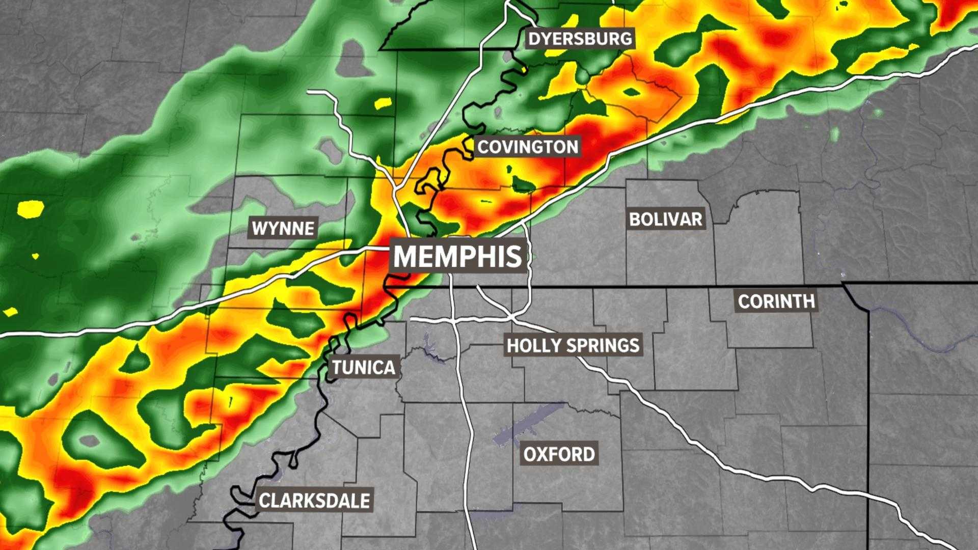
MEMPHIS, Tenn. – The Mid-South faces a Level 1 out of 5 threat for isolated strong storms this Friday, particularly east of the Mississippi River. A Dense Fog Advisory is in effect until 8 a.m. Friday, urging residents to be cautious during morning travel.
As the day begins, weather reports show cloudy skies and fog, with rain visible on radar. Rain is expected to slow by the morning rush, but isolated storms may return this afternoon and evening. Afternoon temperatures are projected to reach the low to mid-70s, with a rain chance of around 60% and potential for gusty winds and an isolated tornado.
The National Weather Service advises drivers to take precautions during low visibility conditions associated with the fog. “If driving, slow down, use your headlights, and leave plenty of distance ahead,” officials recommend.
Looking ahead, the rain likelihood decreases over the weekend, with temperatures cooling into the 60s. However, forecasters expect rain to return Monday into Tuesday, leading up to drier conditions for Thanksgiving with temperatures in the 50s.
Residents are encouraged to download the FOX13 Memphis app for alerts on breaking news and weather updates.


