News
Severe Weather Front Delays Arrival, Damaging Winds Possible
HOUSTON, Texas — A cold front expected to bring severe weather has had its timing adjusted, now anticipated to arrive in Southeast Texas by Monday morning.
Meteorologists are monitoring a level 2 out of 5 slight risk of severe weather in portions of the Brazos Valley and Piney Woods, while a marginal risk level 1 out of 5 is in place for areas south of the Brazos Valley, including northern Houston. The main threats include damaging winds and large hail.
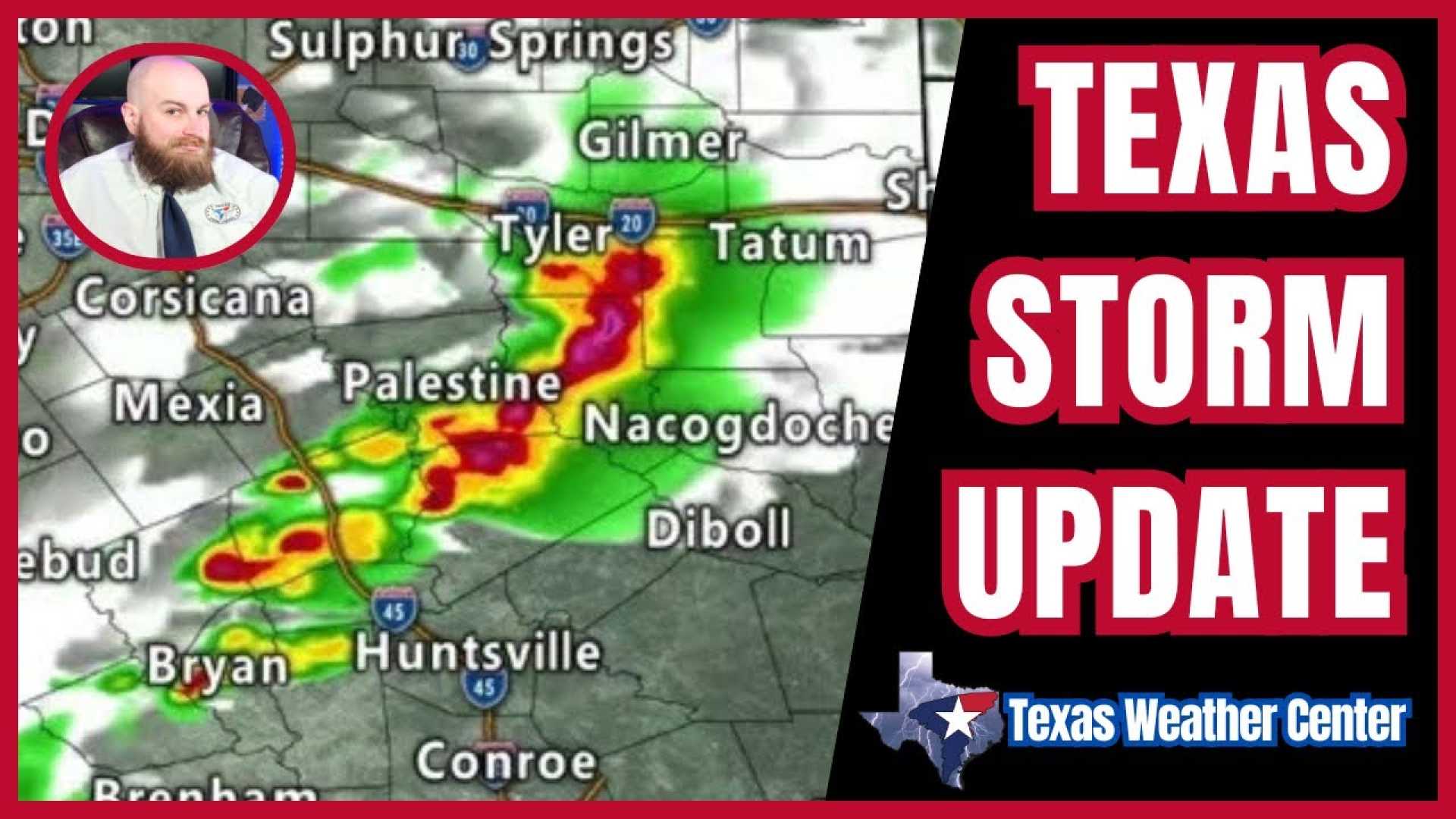
A Severe Thunderstorm Watch is currently in effect until 1 a.m. Monday for Burleson, Brazos, Madison, Houston, Trinity, Walker, San Jacinto, Grimes, and Washington counties. With severe storms progressing southward into the central Brazos Valley, a Severe Thunderstorm Warning has been issued for northern Brazos County and the western half of Madison County until 11:30 p.m. These storms could produce hail the size of golf balls and wind gusts reaching up to 60 mph.
The cold front is moving slower than originally predicted, a typical occurrence with weak fronts lacking momentum. Meteorologists note that opposing winds and warm, humid air from the Gulf of Mexico are also contributing factors to the front’s sluggish progress.
As of 11 p.m. Sunday, the front is gradually pushing south through Texas, not expected to reach Houston until mid-morning Monday. Rain totals in Houston are likely to be light due to the weak nature of the front, restricting energy and moisture supply for significant precipitation.
“While we are tracking risks in some regions, the overall rain effect for Houston remains minimal,” said meteorologist Amanda Goluszka of KPRC 2. “However, we encourage residents to remain weather aware.”
As the front approaches, viewers are advised to stay updated on potential weather changes. The KPRC 2 weather team will provide real-time updates as conditions evolve, particularly during the morning commute on Monday.


