News
Severe Weather Hits Louisville: Tornado Watch Issued Until Early Morning
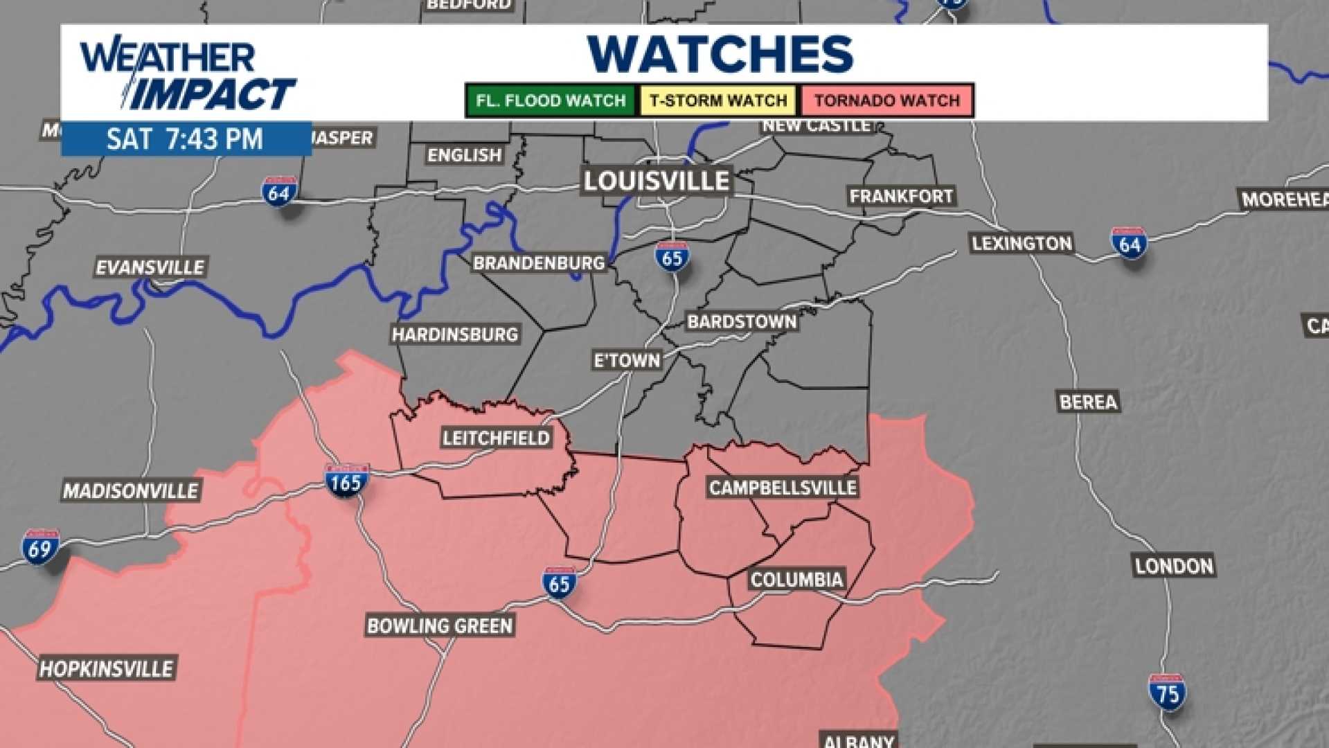
LOUISVILLE, Ky. — A Tornado Watch has been issued for Louisville and much of the WLKY viewing area until 1 a.m. as severe weather is forecasted to impact the region tonight. The National Weather Service is urging residents to stay alert and be prepared to seek shelter if necessary.
The severe weather system is expected to hit various parts of Louisville and surrounding areas throughout the evening. According to meteorologists, scattered heavy downpours are possible as early as 6 p.m., with more intense storm activity anticipated later in the night.
By 9 p.m., forecasts indicate the possibility of severe weather supercells forming ahead of the main storm line, potentially leading to tornado spin-ups. The progression of the storm line will reach southern Indiana communities like Salem, Scottsburg, and Charlestown at around 10 p.m., while Breckinridge County, Kentucky, may also experience severe activity.
At 11 p.m., the storm line is expected to cross into the Louisville Metro area, impacting areas along the Interstate 71 corridor, including Oldham County. The heaviest precipitation is projected to move east and south of Louisville around midnight, with light showers expected by 1 a.m. as the severe weather transitions toward Lexington.
By 2 a.m., weather authorities believe the threat of severe conditions should have passed for the region. However, as the night progresses, residents in affected counties should remain vigilant.
Current alerts include a Tornado Warning for Hardinsburg, Irvington, and Custer until 8:45 p.m. CDT, and warnings for Meade County, western Bullitt County, and northern Hardin County until 10 p.m. EDT. Tornado activities have also been reported in southern Louisville and northern Bullitt County, extending to communities including Mount Washington and Brooks until 10:15 p.m.
Weather updates report a special weather statement for pea-sized hail and severe thunderstorm warnings across multiple Indiana counties. While the main line of storms may appear to weaken, forecasters warn that damaging hail and straight-line winds remain a risk as the system continues to advance.
The Storm Prediction Center has categorized the WLKY viewing area under an ‘Enhanced’ risk, a level 3 out of 5 for severe weather tonight, highlighting the potential for damaging winds, large hail, and isolated tornadoes as the cold front moves through.
Residents are encouraged to download the WLKY app for real-time updates and to monitor local weather news. Preparations should be made to ensure safety in the event of severe conditions tonight.


