Severe Weather Threat Passes, Upstate South Carolina Cleans Up
GREENVILLE, S.C. — Pockets of isolated storms persisted across some Upstate areas early Sunday, but the main severe weather threat has passed. Residents experienced storms overnight, with the front moving east toward Charlotte and the Midlands by 9 a.m.
As the storms exited, skies began to clear, leading to mostly sunny and breezy conditions throughout the day. Forecasters predict high temperatures to reach the mid-70s this afternoon, creating a stark contrast from last night’s weather.
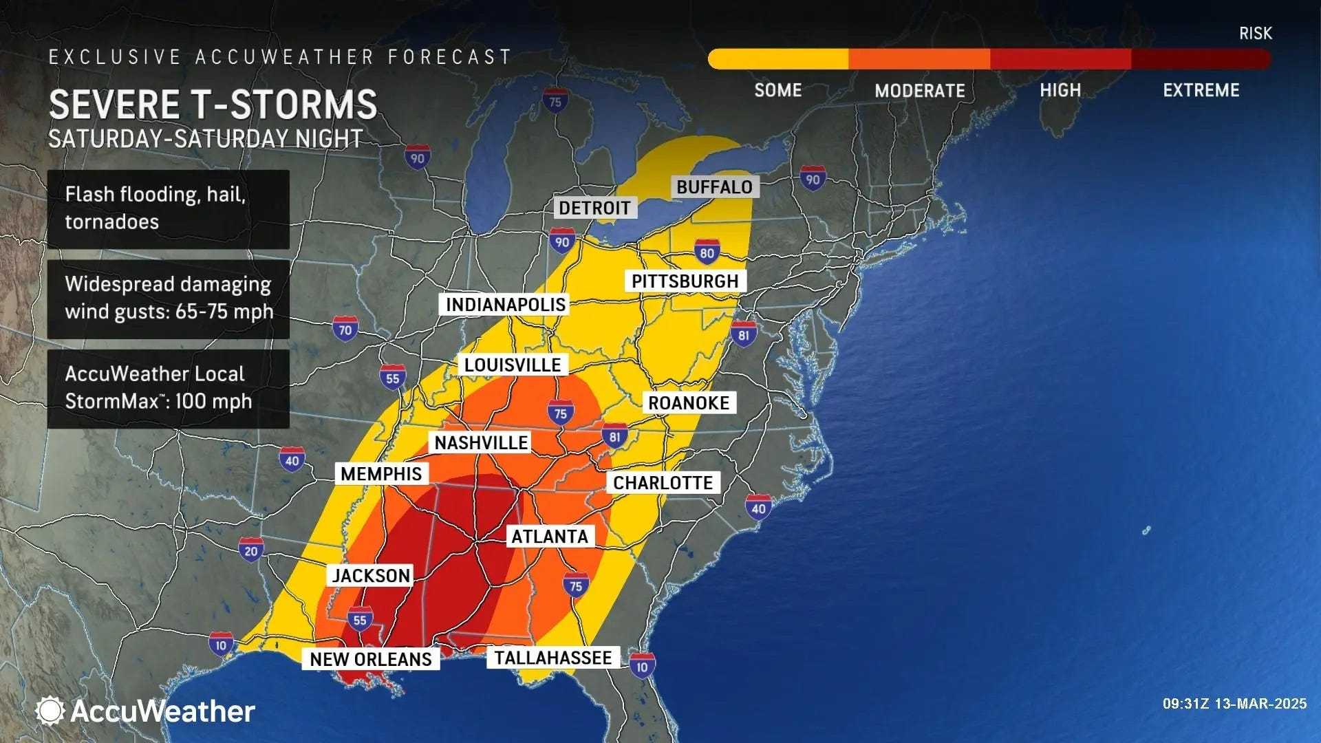
The National Weather Service had previously issued a level 2 out of 5 severe storm threat for the region, warning of potential tornadoes and damaging winds. These warnings were prompted by a cold front sweeping through South Carolina, bringing turbulent conditions overnight.
Meteorologist Adam McWilliams from FOX Carolina detailed the situation: “While the severe threat shifted east during the morning hours, the storms could still produce heavy rainfall and gusty winds. Locally heavy rain is likely as the front progresses, especially in the Upstate areas where totals could exceed an inch. Flooding is not anticipated, however.”
With a 60% chance of precipitation and sustained winds from the south at 18 to 20 mph, gusts were forecasted to peak at around 32 mph. By mid-afternoon, the expected warmer air will give way to cooler and more stable conditions Sunday night into St. Patrick’s Day.
Tonight, residents can anticipate mostly clear skies with temperatures cooling off to the low 40s. Highs on St. Patrick’s Day are projected to reach the 60s, maintaining dry conditions.
Local meteorologists urge residents to stay informed through live radar updates and alerts. The FOX Carolina team will continue to monitor the situation throughout the night, ensuring community members remain aware of any weather changes.