News
Spring Storm Hits Arizona with Rain and Snow Ahead of Easter
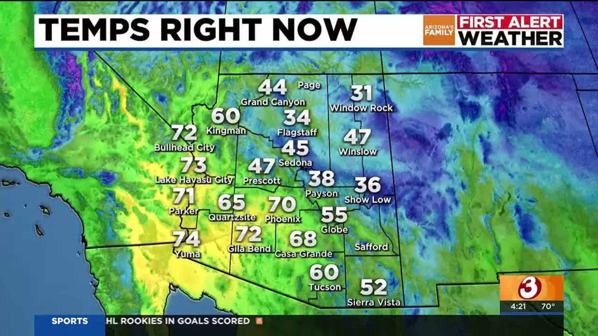
PHOENIX, Ariz. — A spring storm system is moving through Arizona today, bringing a mix of cooler temperatures, gusty winds, rain, snow, and chances of thunderstorms. Residents are advised to prepare for significant weather changes across the state.
In the Valley, winds are expected to range between 10 to 15 mph, with afternoon temperatures only reaching 76 degrees under partly sunny skies. While the first half of the day looks dry, there’s a 30% chance of showers this afternoon, increasing to 40% this evening, according to the National Weather Service.
“Rainfall amounts will be on the lighter side for most areas, but the northern and eastern edges of town might see slightly higher totals,” a spokesperson said. “There’s also a possibility of thunderstorms which could bring stronger winds and localized heavier rainfall.”
Thunderstorms are also anticipated in the high country today. The combination of rain and snow is expected to start during the morning, continuing into the afternoon. This could create hazardous travel conditions, particularly on snow-covered roads with low visibility caused by blowing snow. Areas around Flagstaff could possibly receive several inches of snow.
The snow level is expected to move into Eastern Arizona by Saturday morning, with a Winter Weather Advisory in effect from tonight through Saturday night in the White Mountains. Forecasts predict 1 to 4 inches of snow, with up to 8 inches possible at elevations above 8,000 feet. Towns like Pinetop may receive around 2 inches of snow.
Looking ahead, the Valley is expected to enjoy sunshine and warmer temperatures in the upper 70s on Saturday. Morning temperatures will dip into the 50s for Easter Sunday, but conditions will likely warm to the mid-80s under clear skies. The upcoming week is predicted to bring dry weather with highs in the low 90s.
Yesterday’s weather patterns are still holding firm, with cooler temperatures and light rain opportunities mainly for the northeastern foothills of the county. A low-pressure system is currently centered off the coast of Southern California, moving east and interacting with another trough from the Pacific Northwest.
“This will allow the region to experience cooler temperatures and increased afternoon winds,” the forecaster added. Today’s high temperatures are projected to reach between 76 and 80 degrees, staying mostly clear except for some passing clouds. Afternoon winds could gust up to 20 mph.
By Sunday, the low-pressure system will exit, ushering in typical springtime weather for the region. High temperatures on Sunday will range from 73 to 77 degrees Fahrenheit, with mostly clear skies and gentle breezes.
As for today’s climate context, the normal high temperature is 86 degrees Fahrenheit, while record high and low extremes date back to 1987 and 1995, respectively. Rain records show a daily maximum of 0.45 inches set in 1903.


