Spring Storm Triggers Tornado Warnings and Fire Alerts Nationwide
DENVER, Colo. — A powerful spring storm is expected to impact large parts of the United States through midweek, bringing severe weather including thunderstorms, tornadoes, and critical fire risks, according to the National Weather Service (NWS).
The storm is anticipated to move from the Central Plains into the Midwest, affecting areas from Texas to the Great Lakes starting Monday evening. The NWS warns that severe thunderstorms could develop late Monday, with an increased risk of tornadoes and damaging winds.
“Thunderstorms should increase late this evening and merge into a squall line overnight across parts of the southern and central Plains. Several tornadoes, scattered to numerous severe wind gusts, and large hail are all possible,” the NWS stated.
Heavy snowfall and strong winds are likely to create dangerous travel conditions in parts of Nebraska and the Midwest, with localized whiteout conditions possible. Travel disruptions are expected to run through Tuesday.
From Tuesday into Wednesday, a cold front will push severe weather into the southern states, including Louisiana, Mississippi, and Alabama, extending further to eastern states like Virginia. The NWS foresees particularly damaging winds and potential tornadoes affecting the central Gulf Coast.
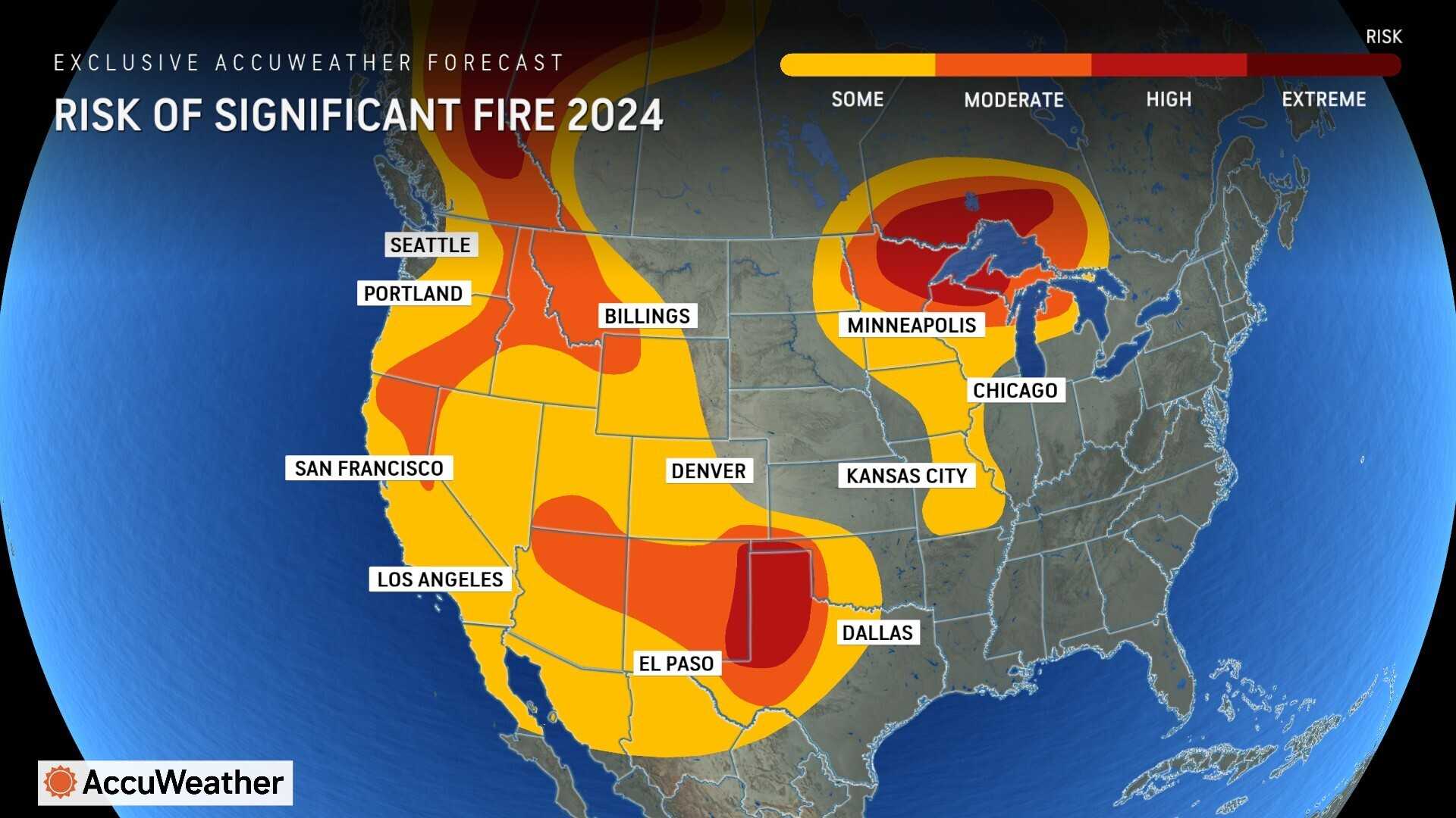
In addition to severe storms, red flag warnings are in effect across parts of Texas until Tuesday evening, attributed to low humidity, warm temperatures, and strong winds. Fire weather watches are also in place for parts of New Mexico and Oklahoma.
The NWS warned that wind gusts could reach up to 55 mph in eastern Texas, making driving increasingly difficult. An increased fire danger is also noted for the Carolinas, where ongoing wildfires, driven by high winds and dry conditions, have already burned thousands of acres.
“Although relative humidity will be higher during the day Tuesday, temperatures will be warmer and winds stronger during the afternoon,” the NWS stipulated on Monday. “The likelihood of precipitation remains near zero in most areas until Tuesday evening, so fuel moistures will remain dry.” As of Monday evening, over 193 fires were reported across North Carolina alone, with more than 4,300 acres burned in South Carolina.
The FOX Forecast Center is monitoring this developing winter storm system, which presents blizzard conditions primarily affecting eastern Colorado and Nebraska. The storm could potentially set records for momentum as it approaches major cities like Chicago and Milwaukee.
“Depending on where you live, it’s kind of a mixed bag of hazards,” said a FOX Weather meteorologist.
A Tornado Watch was issued for the Dallas-Fort Worth Metroplex early Tuesday morning as a line of powerful thunderstorms races across portions of Texas and Oklahoma. This severe weather threat is expected to peak on Tuesday.
The storm is set to reorganize and strengthen overnight, affecting eastern areas with potentially heavy precipitation and thunderstorm activity on Wednesday. Wind advisories are in effect for over a dozen states across the central, southern, and eastern U.S., with gusts likely to exceed 60 mph in some places.
As temperatures drop Tuesday evening behind the storm, rain is expected to transition to snow in many regions, with totals of 1-3 inches anticipated, although some localized areas could see higher amounts. Many could find travel nearly impossible due to the risks posed by combined snowfall and high winds.
The storm’s remnants will move eastward on Wednesday, bringing rain and gusty winds across the Northeast while likely leading to flash flooding concerns in certain areas. With forecasts indicating sustained winds of 25-35 mph, residents are urged to remain cautious.
Due to heightened fire risks and strong winds, areas including central and western Texas face extreme fire threats. Utility companies have already cut power to about 140 customers in New Mexico as a precautionary measure against potential wildfires.