News
Tornado Warnings Issued Amid Severe Storms in Oklahoma City
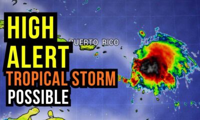
OKLAHOMA CITY, Okla. — Severe storms swept through central Oklahoma on Tuesday, triggering multiple tornado warnings and severe thunderstorm alerts. The National Weather Service warned residents to stay prepared as storm activity escalated throughout the afternoon.
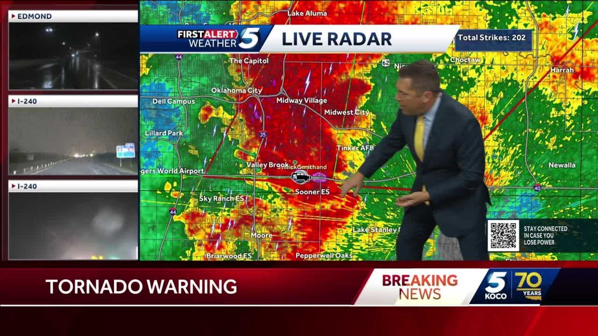
As of 4:36 p.m., a tornado warning remained in effect for Cleveland and Oklahoma counties until 5 p.m. Severe thunderstorms were reported in Cleveland, Grady, McClain, and Oklahoma counties, with warnings lasting until 5:15 p.m.
Chief Meteorologist Damon Lane urged residents to be cautious of possible quick spin-ups from the rapidly developing storms. Although storm chaser Nick Smith observed impressive rotation near Interstate 240 and Anderson Road, the activity had not touched down as of the latest reports.
A tornado warning was also issued for southeastern Oklahoma County and northeastern Cleveland County, focusing on a tornado couplet near Lake Stanley Draper. Tornado sirens were reported near Tinker Air Force Base.
The warnings follow a trend of severe weather moving across the state, with strong winds and large hail impacting areas such as Moore and Newcastle. As of 2:58 p.m., storms producing gusts of up to 70 mph were making their way east toward the Oklahoma City metro, likely to affect evening commute traffic.
In addition to tornado concerns, a flood watch is active for much of central and eastern Oklahoma, as rains could reach 2 to 4 inches, raising the threat of flash flooding. Residents should remain alert to rapidly changing weather conditions and heed warnings from local weather officials.
As the storm system progresses, meteorologists anticipate ongoing activity, with additional waves of storms likely to impact the region throughout the evening.