News
Weather Alert: Cool Temperatures and Windy Conditions Hit Arizona and California
PHOENIX, Arizona — A low-pressure system is sweeping across Arizona, marking Sunday as a First Alert Weather Day. As temperatures drop from the 90s on Saturday to around 80 degrees Sunday, residents can expect gusty winds reaching 30 mph in the Valley.
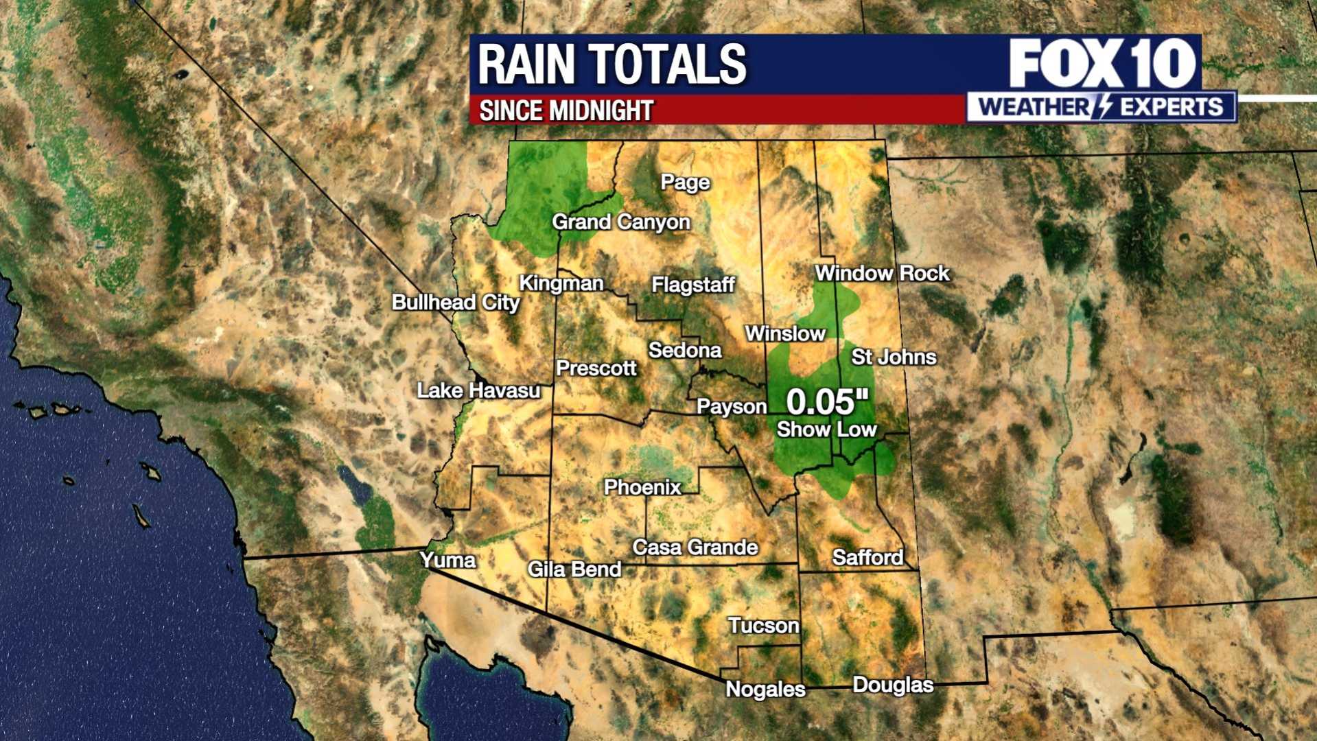
An Air Quality Alert is also in place for Maricopa County due to the risk of blowing dust and increased particle levels. Rain chances will enter the forecast on Sunday, with scattered showers and the possibility of isolated thunderstorms. These rain chances may linger into Monday and possibly Tuesday morning.
In the high country, showers and thunderstorms have already begun developing. Overnight, temperatures are forecasted to drop, and winds will continue to pick up. Scattered showers are expected Sunday into Monday, with snow accumulations possible around 6,500 feet. The Kaibab Plateau and San Francisco Peaks could see 3 to 6 inches of snow.
On Monday, temperatures across the Valley will be in the lower 80s, down from the average of 88 degrees for this time of year. A Red Flag Warning remains in effect for eastern Arizona, where areas like Winslow and Show Low are experiencing winds up to 40 mph.
Meanwhile, California is experiencing significant weather changes as well. An unusual Omega Block pattern is forming, bringing unsettled conditions. The National Weather Service warns that periods of rain and possible thunderstorms are expected as temperatures will dip to the 60 to 70-degree range, about 10 degrees below average.
Showers are anticipated from Los Angeles to San Francisco through the weekend. Coastal areas may see wind gusts between 25 to 45 mph, leading to hazardous driving conditions.
As the systems move, flash flooding and debris flows are a concern across both states. As the weather evolves, residents are advised to stay alert to updates on changing conditions.


