News
Hazardous Air Quality and Heat Warning in Phoenix This Tuesday
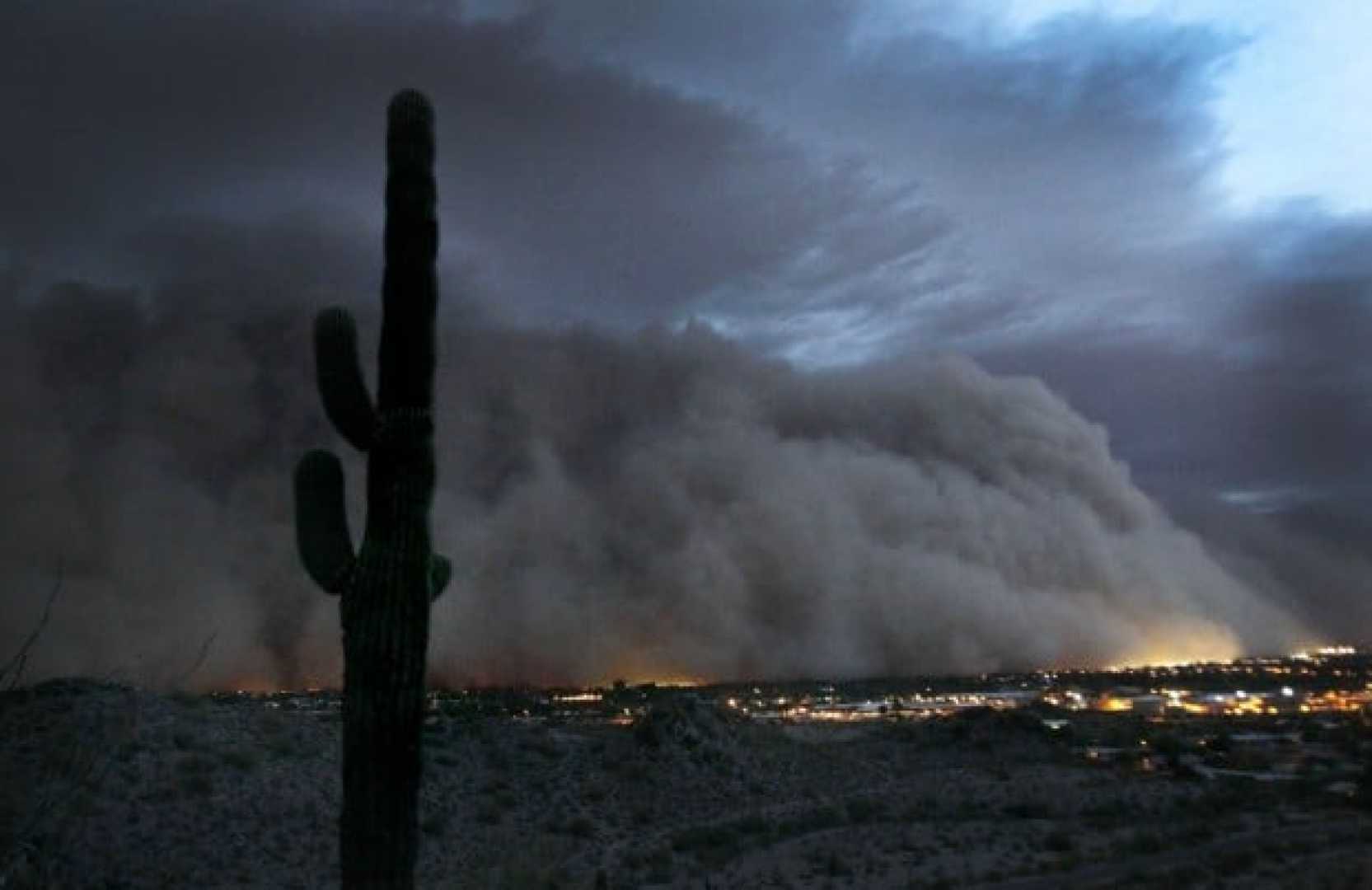
PHOENIX, Arizona — Hazy skies blanketed the Valley Tuesday morning as dust from storms arrived overnight. Several monitors in Maricopa County reported hazardous air quality early in the day. An Extreme Heat Warning is in effect until 8 p.m., with temperatures expected to reach around 113 degrees this afternoon.
Despite a slight decrease in temperature from Monday, higher humidity levels will make it feel just as hot, according to forecasters. Isolated storms brought some rain to southern Arizona the previous day, and more widespread activity is anticipated today.
Wind conditions this afternoon and evening could create more blowing dust, leading to gusty winds. The Arizona Department of Environmental Quality has issued a High Pollution Advisory for both Tuesday and Wednesday. Rain chances today are about 20%, with wind speeds ranging from 15 to 25 mph, gusting up to 35 mph.
Weather experts expect an increase in rain and thunderstorms on Wednesday, predicting a 30% chance for the Valley with an afternoon high of 108 degrees. Slight storm activity will continue into Thursday before dry conditions return, impacting Fourth of July plans and the weekend.
Temperatures are projected to peak at 106 degrees on Friday and near 110 degrees by Sunday. As dusty conditions persist throughout the state, residents are advised to remain cautious.
A Blowing Dust Advisory will be active from 2 to 8 p.m. in southern Arizona and 4 to 8 p.m. in western Pinal County. Drivers are reminded to pull off to the right, take their foot off the brake, and turn off their vehicle’s engine and lights during dust storms. This precaution can enhance safety as visibility decreases.


