News
Invest 94-L May Become Tropical Depression Soon, NHC Reports
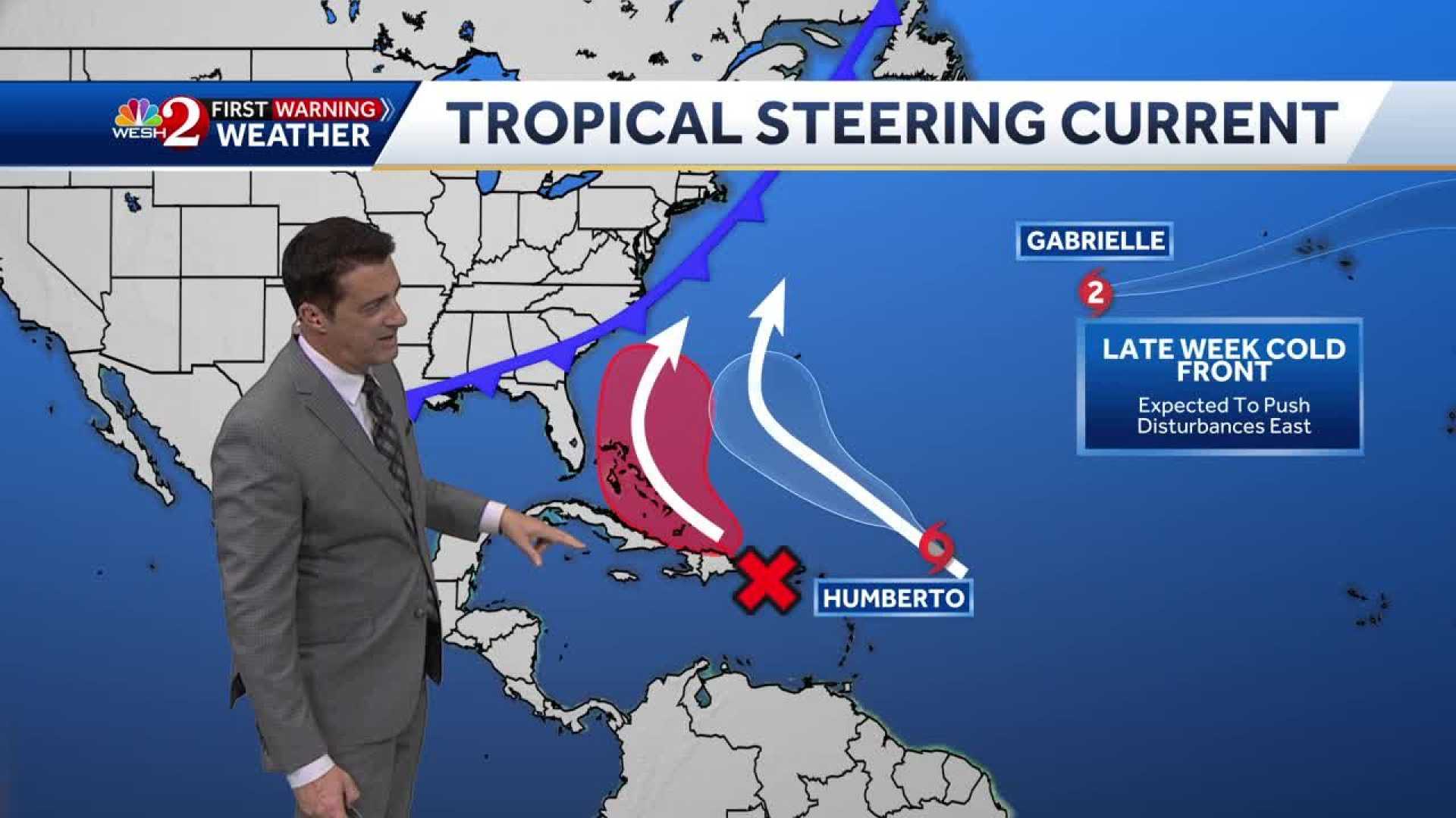
MIAMI, FL – The National Hurricane Center (NHC) is closely monitoring a tropical wave known as Invest 94-L, which is near the Dominican Republic and showing signs of development. The system is currently producing widespread disorganized showers and thunderstorms.
Invest 94-L is moving west-northwest at speeds of 10 to 15 mph. Heavy rainfall and gusty winds are expected to impact Puerto Rico and the Dominican Republic throughout Thursday. As it approaches the Bahamas later this week, conditions may become more conducive for it to develop into a tropical depression.
Currently, the NHC has rated the chance of this system forming a tropical depression over the next 48 hours at 50% and 80% over the next week. Although it seems to be edging closer to Florida’s coast, no immediate impacts are forecast for the region.
Forecasters at the NHC indicated that as Invest 94-L interacts with existing weather patterns, including Tropical Storm Humberto, its path and strength remain uncertain. Reports suggest that the better chances for development will occur once it passes over the Bahamas with water temperatures above 80 degrees.
While residents in Florida are advised to remain vigilant, officials assert that no significant impacts are expected at this time. However, increased surf and a higher risk of rip currents are anticipated along the east coast due to the system’s presence.
Residents in areas including the Virgin Islands, Puerto Rico, and the Bahamas are advised to monitor updates closely as the situation develops.


