News
Severe Storms Forecasted for Central Texas This Afternoon
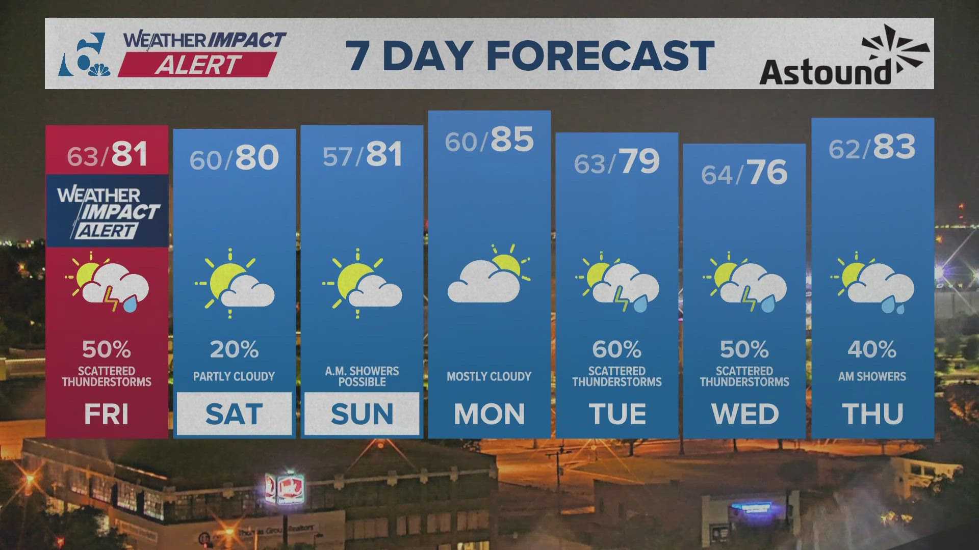
AUSTIN, Texas – Severe storms are expected to hit Central Texas later today, bringing an increased chance of severe weather conditions compared to the last two days. The National Weather Service (NWS) has issued a severe thunderstorm watch for various counties in the region, valid until 8 p.m.
The watch includes Gillespie, Hays, Caldwell, Bastrop, Blanco, Lee, Travis, Llano, Burnet, Williamson, Fayette, Bell, Milam, and Lampasas counties. Central Texas residents should be aware; much of the affected area faces a Level 3 risk on a five-point scale for severe storms.
Residents can expect quarter- to baseball-sized hail and strong wind gusts reaching up to 60 mph. Additionally, heavy lightning and isolated tornadoes may occur, with rainfall totals forecasted to range between 1 to 3 inches, raising the risk of localized flooding.
The expected timeframe for these storms is between 1 p.m. and 8 p.m., with likely ponding on roads during the afternoon commute. Low-water crossings could also flood, posing a risk to drivers.
In related news, a tornado was confirmed near Briggs, Texas, on Thursday, May 1, as severe weather impacted central Texas. NWS prompted warnings for Burnet County as a tornado touched down, damaging a house and a large outbuilding, according to reports from local residents.
As the weather progresses, the NWS encourages residents to utilize local forecast resources like the KVUE app, which provides radar updates and weather alerts designed to keep the community informed and safe.
By the end of the day on Friday, storms are expected to clear up quickly, with a cooler and calmer weekend on the horizon.


