Upcoming Storms to Bring Rain and Snow to Western U.S.

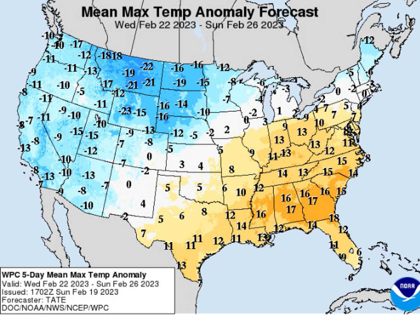
CHELSEA, NY — A series of storms are expected to bring significant rain and mountain snow to parts of the western United States early next week, according to AccuWeather meteorologists.
The storms, arriving after a long dry spell, will create wet highways in lower elevations and potentially hazardous, slippery conditions in the mountains. The interior Southwest is at the highest risk for flash flooding as these weather systems push inland from the Pacific Ocean.
“This is the most substantial low-elevation rain and mountain snow we’ve seen since last spring,” said Bernie Rayno, a senior meteorologist at AccuWeather.
In Montana and Wyoming, several inches of snow are expected, starting Saturday night and lasting until Monday morning. The Tetons in northwest Wyoming could see between 6 to 12 inches of snow.
Travel disruptions are anticipated, especially in the Rockies and at higher elevations where conditions may be particularly severe. Snow is expected to blanket grassy and wooded areas, creating dangerous travel scenarios.
Meanwhile, a second storm is set to move in later next week, bringing more moisture from former Tropical Storm Priscilla. This will primarily affect California, delivering additional rain and snow.
As temperatures drop from the 70s to the 60s in Northern California, heavy precipitation is already long overdue; San Francisco, for example, has seen just 0.36 inches of rain since early April. This new storm is predicted to surpass that amount easily.
For residents in Los Angeles, rainy commutes are likely on Tuesday morning and evening, while San Diego may see rain starting on Tuesday evening.
“We’re bracing for rough surf and gusty winds along the coast, with heavy seas offshore,” said meteorologist Joe Lundberg.
