News
Southeast Michigan Faces Dangerous Heat Advisory This Weekend
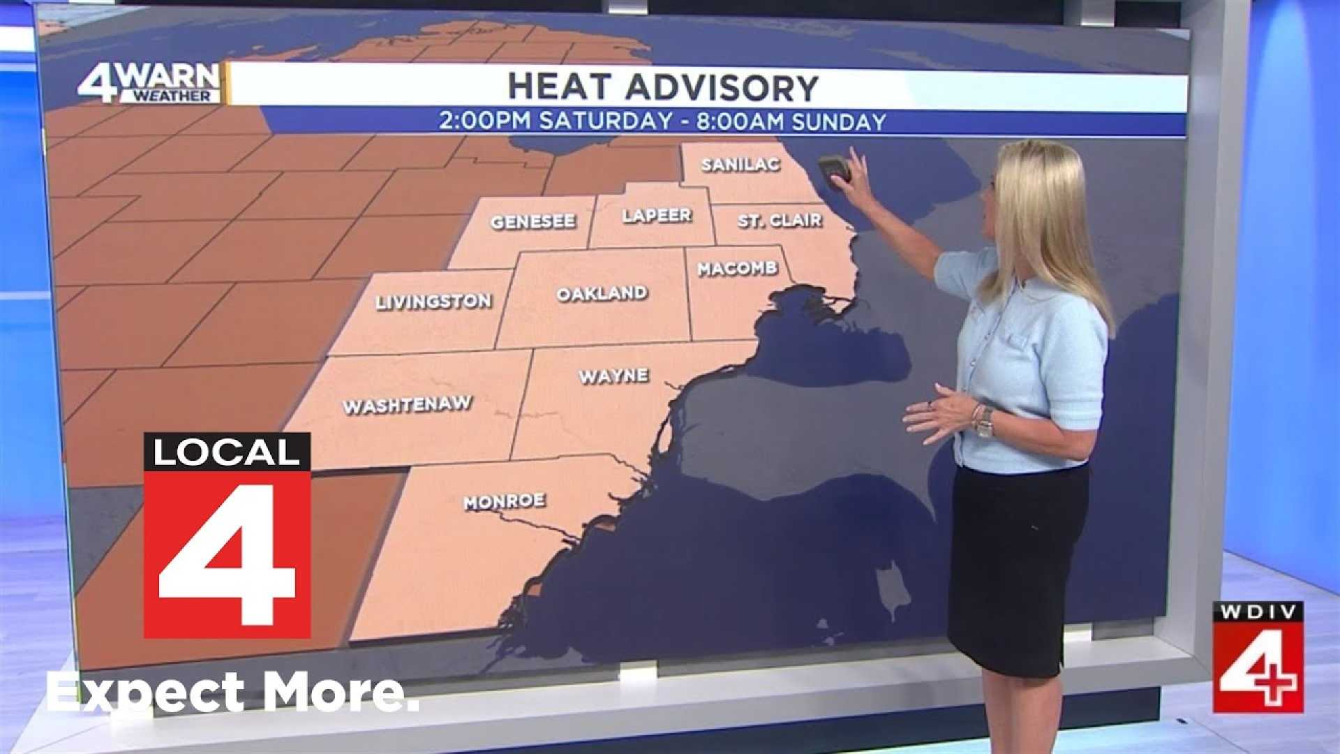
DETROIT, Michigan – A heat advisory has been issued for all of Southeast Michigan, starting Saturday at 2 p.m. and lasting until Sunday at 8 a.m. The advisory escalates to an extreme heat watch from Sunday at 8 a.m. until Tuesday at 8 p.m.
A mix of weather is expected this weekend, with a chance of showers and thunderstorms Saturday morning, transitioning to mostly sunny conditions in the afternoon. Temperatures will soar to a high of 91 degrees, while heat index values could reach as high as 100 degrees.
On Saturday night, clear skies and warm conditions will persist with lows around 76 degrees. Sunday will bring even hotter weather, with a projected high of 96 degrees and heat index values soaring between 103 and 105 degrees.
By Monday, the heat wave continues with similarly high temperatures, reaching 97 degrees. Mugginess will make it feel even hotter, prompting meteorologists to issue a 4Warn Weather Alert due to the dangerous conditions expected through midweek.
Residents are advised to remain hydrated and seek air-conditioned spaces. The high heat and humidity increase the risk of heat-related illnesses, including heat exhaustion and heat stroke. People are encouraged to stay indoors, especially during peak sunlight hours, and to check on family members and neighbors.
As this extended heat wave continues, the possibility of scattered showers and thunderstorms may return in the middle of next week as a frontal boundary approaches. Temperatures are anticipated to stay in the 90s next week before cooling slightly into the upper 80s by the week’s end.
Officials are stressing the importance of precautions during this heat alert. Experts recommend wearing lightweight clothing, limiting strenuous outdoor activities, and being vigilant for any signs of heat illness.


