News
Blizzard Warning Issued for Upper Midwest Ahead of Thanksgiving
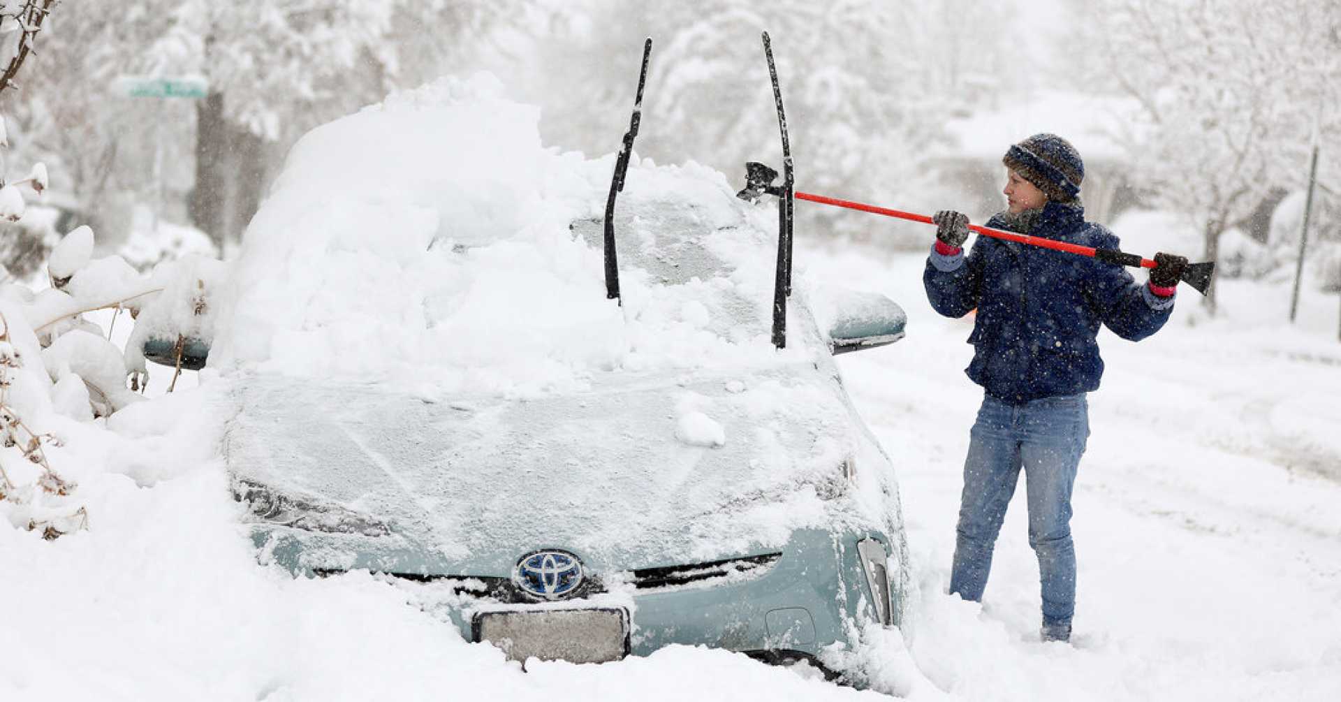
ABERDEEN, South Dakota — A blizzard warning is in effect for parts of western Minnesota and northeastern South Dakota through Tuesday night as a powerful snowstorm approaches the Upper Midwest. Blizzard conditions were confirmed in Aberdeen, South Dakota, on Tuesday afternoon, with winds reaching 35 to 49 mph and visibility significantly reduced.
Relief may be in short supply as this storm threatens to disrupt Thanksgiving travel for millions. The FOX Forecast Center has highlighted the potential for significant snowfall across the Great Lakes Snowbelts beginning Wednesday and lasting through Thanksgiving Day and into Black Friday.
The National Weather Service (NWS) office in Aberdeen confirmed that blizzard conditions had persisted since Tuesday morning, reporting wind gusts between 35 and 49 mph and dangerously low visibility at Aberdeen Regional Airport.
Travelers are already facing challenges, as evidenced by a multi-vehicle pileup in Clay County, Minnesota, due to unsafe winter weather conditions. Local officials are urging drivers to reduce speed and exercise caution.
Blizzard warnings are not limited to South Dakota; similar alerts have been issued for parts of western Minnesota, northern Michigan, and northwestern Wisconsin, with some warnings lasting until Friday. Over six inches of snow was recorded in parts of North Dakota on Tuesday afternoon, and the forecast indicates that wind gusts could reach up to 50 mph in Michigan’s Upper Peninsula.
The NWS has also issued winter storm watches beginning Wednesday in these areas, as models suggest that snowfall in Michigan’s Upper Peninsula may accumulate to several feet. The NWS office in Marquette is advising residents to reconsider travel plans during this period.
As rain transitions to snow across the Dakotas on Wednesday, the timing of this changeover may result in hazardous driving conditions. By Thanksgiving Day, lake-effect snow is expected to intensify across the Upper Peninsula, with total snowfall projected between 2 and 3 feet by Friday, contingent on wind direction.
Meanwhile, forecast models suggest heightened uncertainty for areas surrounding Lakes Erie and Ontario. However, initial predictions indicate the heaviest snow bands may impact counties south of Buffalo, New York, including Dunkirk and Jamestown, with possible accumulations exceeding a foot of snow through Black Friday.
Travelers are encouraged to stay updated with forecasts as snow advances eastward. Meanwhile, weather alerts signal that the intense winter weather will continue to evolve, leading to challenging conditions across the Northeast as Thanksgiving approaches.


