News
Severe Weather Expected in Wyoming as Storms Roll In
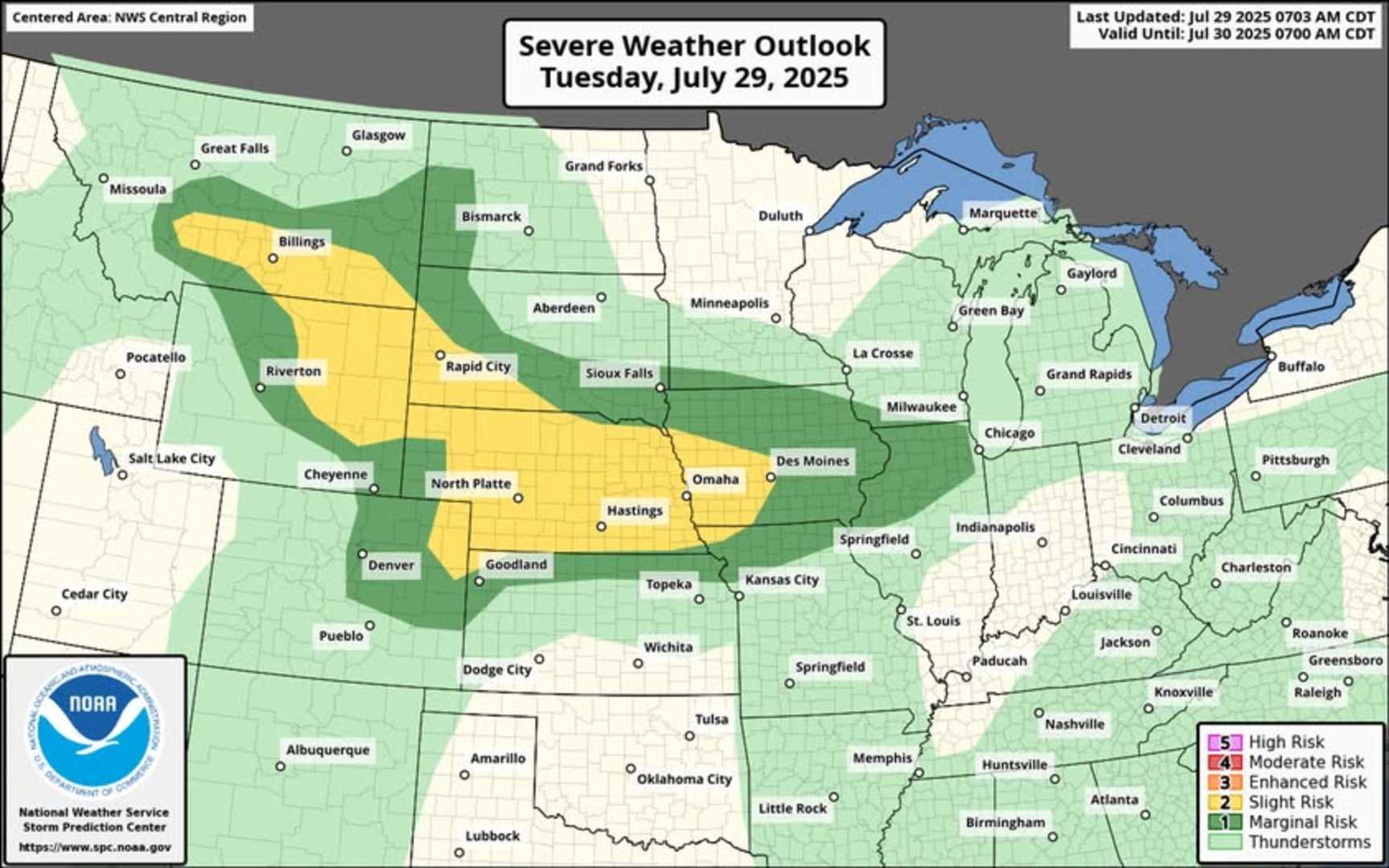
CASPER, Wyo. — Severe weather is on the horizon for Natrona County, with rain and thunderstorms expected today, according to the National Weather Service (NWS) in Riverton. The storms may bring large hail and strong winds, contributing to flash flood risks in the area.
Meteorologists predict a 30% to 60% chance of thunderstorms this afternoon, influenced by a weak cold front that has recently moved through the region. Temperatures in Casper are expected to reach the mid- to upper 80s, providing warm conditions that could fuel storm development.
The NWS noted that the best chances for storms will be in eastern Wyoming, particularly in Natrona and Johnson counties. Thunderstorms may begin in western Wyoming by late morning and spread across the state by mid-afternoon.
A combination of moisture, increased dew points, and warm temperatures will create favorable conditions for strong storms. Storms are anticipated to continue through the evening before tapering off late tonight.
In addition to the main threats of hail and strong winds, there remains a small chance of localized flash flooding, especially in Natrona and Johnson. Over the following days, unsettled weather is likely to persist, bringing ongoing chances for afternoon and evening storms.
Looking ahead to the weekend, temperatures are forecasted to rise back into the 90s, with a potential return of fire weather concerns as drier conditions set in early next week.


