News
Southeast Louisiana Braces for Heavy Rain, Flooding Threat
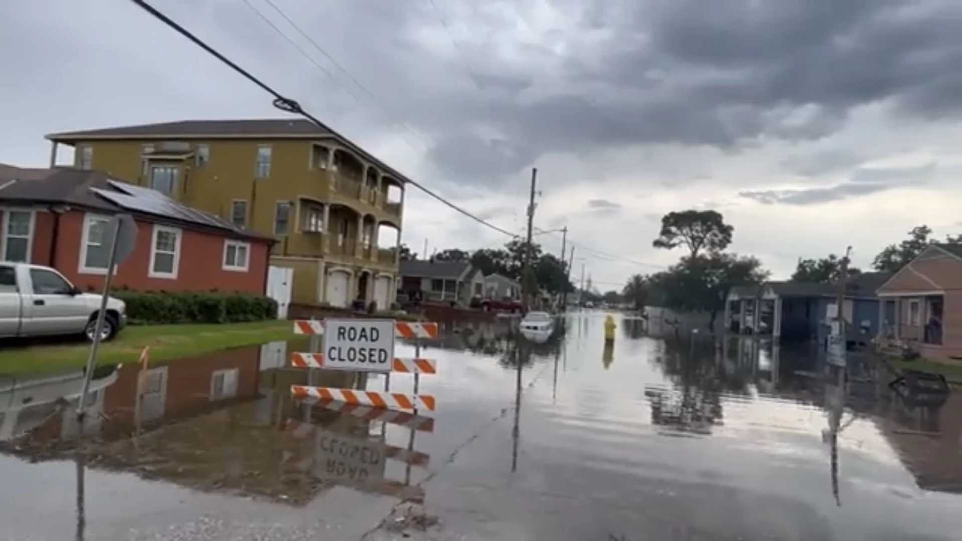
NEW ORLEANS, La. – A strong storm system is expected to bring widespread rain and potential flash flooding to southeast Louisiana late Thursday night through Friday morning. The National Weather Service has issued a Level 1 marginal risk of flash flooding for the region, with rainfall accumulations of 1 to 2 inches expected, and locally higher amounts possible, particularly on the North Shore.
The low-pressure system developing over the northern Gulf of Mexico will bring steady rain to the area, with the heaviest downpours anticipated between 4 a.m. and 8 a.m. Friday. This timing coincides with the morning commute, raising concerns about hazardous driving conditions and localized flooding. “The ground is cold, and vegetation is dormant, so water runoff could be rapid, increasing the flood risk,” said a meteorologist with WDSU First Warning Weather.
Strong southerly winds, gusting up to 40 mph, will accompany the storm, prompting a Wind Advisory from 6 a.m. to 6 p.m. Friday. Temperatures are expected to drop throughout the day, with highs in the 60s early Friday morning falling into the 40s by afternoon. Wind chills will make conditions feel even colder.
Residents are advised to prepare for potential flooding, especially in low-lying areas, and to allow extra time for travel Friday morning. Rain gear and boots are recommended, as standing water and slick roads are likely. “This is a backwards day, with the warmest temperatures in the morning and a steady drop throughout the day,” the meteorologist added.
The storm system is expected to move out of the region by Saturday, leaving behind cooler temperatures and drier conditions. However, the weekend will remain chilly, with highs only reaching the low 50s. Stay tuned to WDSU First Warning Weather for updates on this developing weather situation.


