News
Storms Bring Much-Needed Rain to Southern California

LOS ANGELES, Calif. — Back-to-back atmospheric river storms began hitting Los Angeles County on Tuesday night, promising vital moisture to the region ahead of the expected arrival of another storm system. Forecasters are hopeful that this precipitation will primarily benefit Southern California, as vegetation weakened by a prolonged dry spell receives a much-needed boost.
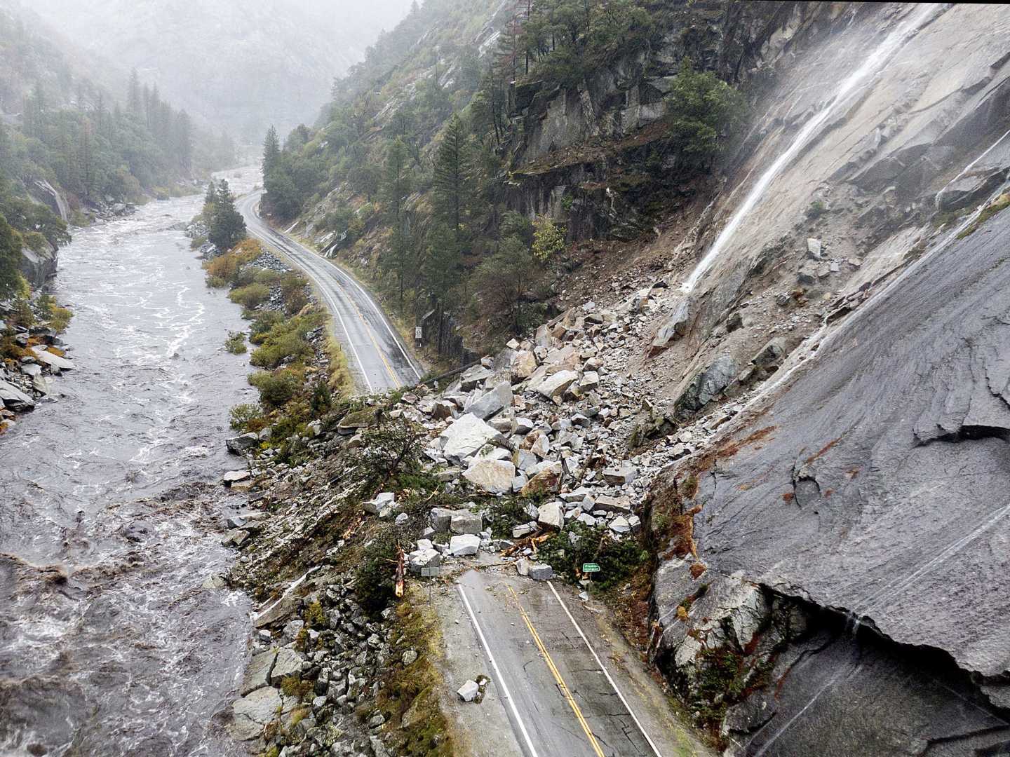
The National Weather Service (NWS) estimated a 5% to 10% chance of significant debris flow in fire-scarred areas of the Southland, although conditions could change if the approaching storm intensifies or shifts its trajectory. Officials are preparing for potential hazards in regions affected by recent wildfires, including closures of several roads due to elevated risks.
The California Department of Transportation (Caltrans) has closed sections of the Pacific Coast Highway from Chautauqua Boulevard in Los Angeles to Carbon Beach Terrace in Malibu, citing concerns about debris flows. In a statement, Caltrans emphasized that the closure was a precaution following the combination of soft soils along both sides of the roadway.
As heavy rainfall began to overflow, a flood advisory was issued for western San Luis Obispo County. Minor flooding is expected in low-lying areas, which encompass cities like San Luis Obispo, Paso Robles, and Morro Bay.
The storms originated from a series of atmospheric rivers, the first making landfall in Northern California on Friday and the second arriving late Monday. Reports from San Francisco revealed landslides and flooding, with a large pothole appearing in the Marina District, causing Waymo autonomous vehicles to navigate through it recklessly.
Several incidents of downed trees were reported, including one that injured an individual. Meanwhile, in Sonoma County, a rain-laden hillside led to the collapse of a home into the Russian River, fortunately with no occupants inside.
A flood watch was put in place across a wide area of Northern California, set to remain throughout early Wednesday morning. Roads in Marin County were shut down due to flooding, and in Sonoma County, flooding affected major lanes of the 101 freeway.
As concerns intensified, authorities in Guerneville have ordered evacuations for areas near the Russian River, where minor flooding is anticipated. Additionally, evacuations of a medical facility in Santa Rosa were prompted by rising waters.
The recent rains are a crucial response to California’s ongoing drought and fire concerns. The state faced a disastrous start to 2025, with wildfires destroying over 37,000 acres. Current estimates for property and capital losses from these blazes could total between $95 billion and $164 billion.
Kristan Lund, an NWS meteorologist, stated that while the rains offer temporary respite, they are not sufficient to terminate the high fire season entirely. Vegetation remains excessively dry due to a lack of moisture, and it typically takes weeks for plant life to adequately absorb rainfall.
Forecasts predict an additional atmospheric river will impact Northern California on Monday, with expectations of it reaching Los Angeles County by Tuesday. “As long as it stays cool, and we don’t have additional Santa Ana winds along with precipitation, this buys us some time,” added Alex Tardy of the NWS in San Diego.
The initial storm pattern is expected to taper off by midday Wednesday, with a mix of light to moderate rainfall across the region. Peak rainfall rates could vary, but NWS officials warn that rates over half an inch per hour may instigate significant debris flow.
Meanwhile, state lawmakers are urging expediency in approving fire prevention measures intended to protect homes in vulnerable areas.
In summary, while the storms bring some relief from California’s drought and challenging wildfire risks, continued monitoring of evolving weather patterns is crucial as the rain may not fully eliminate fire hazards in the weeks ahead.


