News
Rare June Winter Storm to Hit Northern Montana This Weekend
GLACIER NATIONAL PARK, Montana — A rare winter storm is expected to impact northern Montana this weekend, bringing significant snowfall and hazardous conditions. The National Weather Service (NWS) forecasts heavy, wet snow beginning Saturday afternoon through Sunday morning, with accumulations of up to a foot at higher elevations.
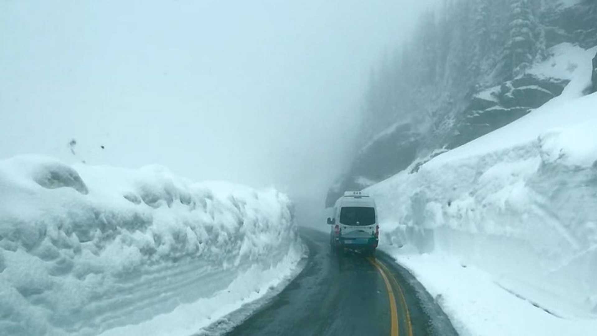
The storm could produce between 12 and 18 inches of snow above 6,000 feet. In valley areas, up to 4 inches may accumulate. Areas affected include Logan Pass, Marias Pass, and sections of the Flathead National Forest, according to the NWS offices in Great Falls and Missoula.
Accompanying the snow will be winds gusting up to 40 mph, which increase the risk of downed trees and power lines. The NWS has warned of hazardous travel conditions, particularly on the Going-to-the-Sun Road and Looking Glass Roads, where slush and snow are expected to blanket the roadways.
This unusual June snowstorm highlights the unpredictable weather patterns in the United States, as parts of the country experience extreme heat while northern Rockies face snowfall. “Those looking to recreate in the backcountry of Glacier National Park should be prepared for adverse trail conditions,” the NWS cautioned.
Furthermore, the storm’s combination of wet snow and brisk winds may cause dangerous trail conditions, making hiking difficult. NWS advised that travelers in the area should frequently check for weather updates and consider alternative plans.
The NWS continues to monitor the situation and will issue updates. Depending on the storm’s impact, authorities may have to close trails or roads. Visitors to Glacier National Park this weekend are urged to stay alert for serious travel disruptions.