News
Central Florida Faces Heat, Rain, and Flooding Potential This Weekend
ORLANDO, Fla. – Central Florida is experiencing a hot start to the weekend, with high temperatures reaching into the 90s. Meteorologists warn that showers and storms could lead to heavy rain, primarily east of Orlando and in areas like Sanford and Brevard County.
As the evening progresses, stronger storms may produce rainfall exceeding an inch per hour, increasing the risk of minor flooding on roadways. Weather experts advise caution while traveling during this time.
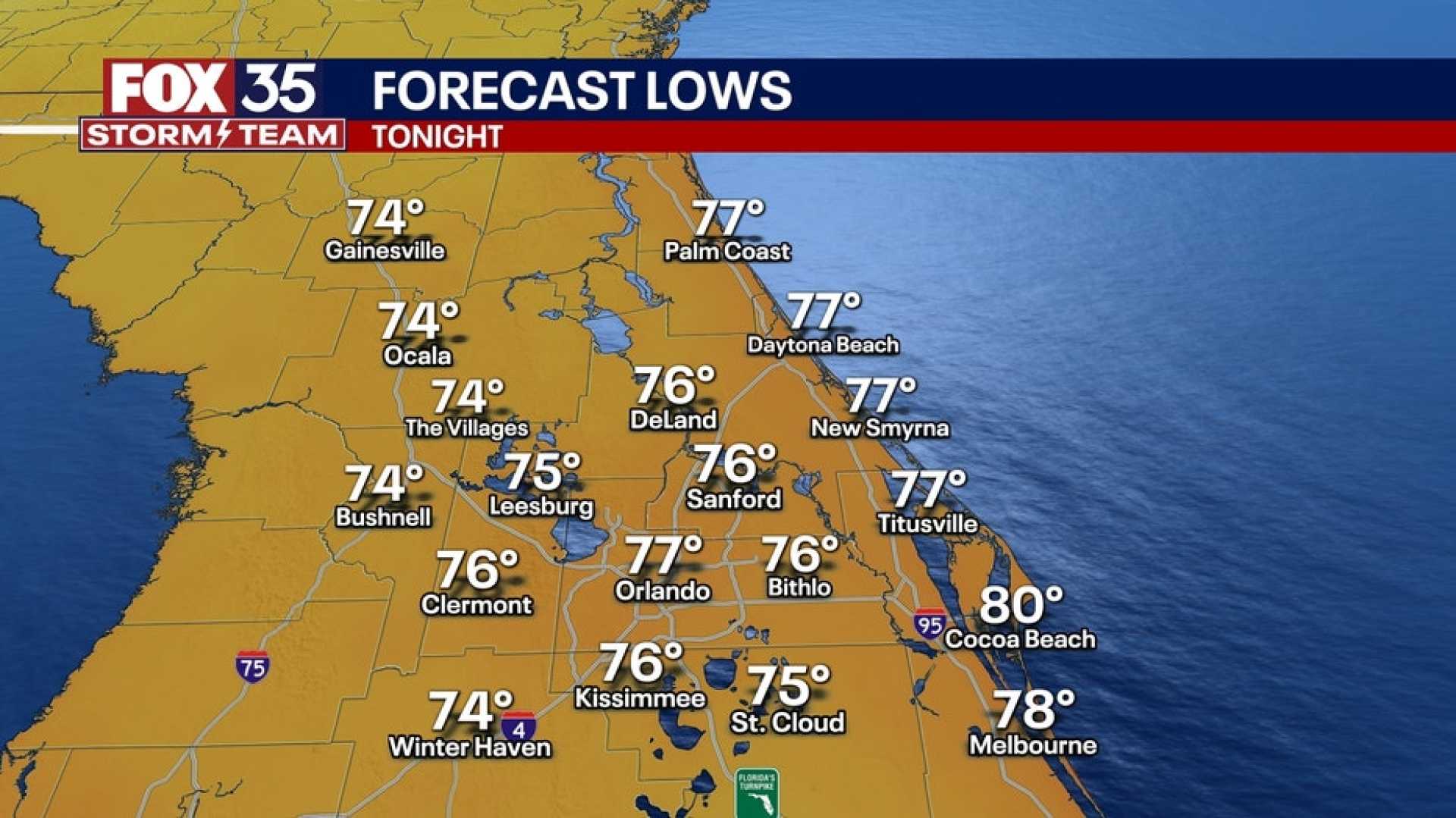
The rain is expected to clear later tonight, resulting in partly cloudy skies and humid temperatures in the upper 70s. Looking ahead to tomorrow, thermometers could spike back into the mid-90s, with humidity making conditions feel hotter, ranging between 100°-107°.
Despite the heat, meteorologists project that heat index values will remain below advisory levels. Rain coverage tomorrow is anticipated to be isolated to scattered, with a 40% chance of storms mainly in the late afternoon and evening.
Starting early next week, moisture levels are set to rise significantly. Meteorologists predict a 70% chance of rain as a stalled front continues to linger over northern Florida.
Meanwhile, the National Hurricane Center has identified a new area of interest off the coast of the Carolinas, suggesting the low potential for tropical development within the next week. However, this system poses no immediate threat to Central Florida, with its projected path directing it eastward away from land.
Residents are urged to plan outdoor activities with flexibility and to keep umbrellas handy as conditions may change. Stay tuned for further updates regarding potential flooding and storm developments.


