Gulf Coast Braces for Heavy Rain and Flooding Threat
Baton Rouge, Louisiana – A tropical disturbance near the northern Gulf Coast is threatening significant rainfall and flooding in Louisiana and surrounding areas. The system, identified as ‘Invest 93L‘ by the National Hurricane Center, is currently moving westward, with lower chances of developing into a named storm before making landfall.
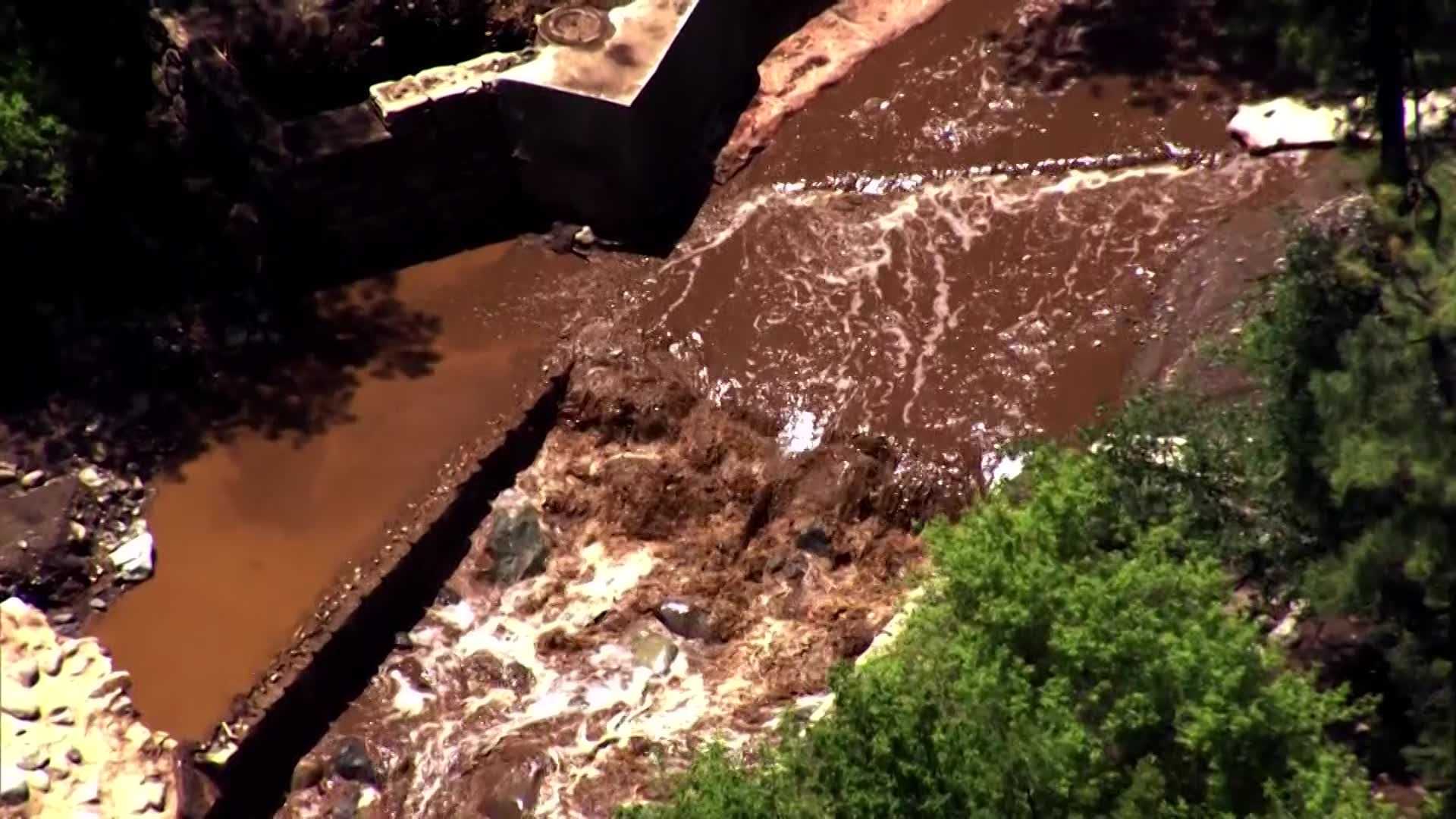
As of early Thursday morning, flood advisories were issued for parts of southeast Louisiana, including Baton Rouge. The National Weather Service reported rainfall totals ranging from 2 to 8 inches in specific areas, particularly north of Houma and Morgan City.
The main flooding threat is expected to persist through Friday, with some locations in the lower Mississippi Valley possibly experiencing heavy rain into Saturday. Areas along and south of the Interstate 10 corridor could see totals exceeding 6 inches, with localized areas receiving even higher amounts due to persistent rain bands.
In anticipation of the storm, New Orleans officials, including Mayor LaToya Cantrell, have delivered 8,000 sandbags, with an additional 50,000 sandbags expected to arrive. “We deliver and get the job done,” Mayor Cantrell stated during a news conference Wednesday. City buildings are set to remain closed Thursday for safety.
Flood watches have been issued for southern Louisiana and parts of southern Mississippi, impacting cities like New Orleans, Baton Rouge, and Biloxi.
In response to the rain, officials warn residents to prepare for potential flash flooding, especially with the forecasted rainfall rates of 1 to 3 inches per hour. Concurrently, the Northeast is bracing for storms, with flood watches in effect across several states, including New Jersey and Pennsylvania.
As the storms advance, concerns for additional flooding remain high due to already saturated grounds from previous rainfall.