Rainstorm to Hit Southern California with Potential Flooding
LOS ANGELES, California — A rainstorm is set to return to Southern California on Thursday, following a brief respite from rainfall. A cold front is moving into the region, bringing with it the potential for isolated showers and flash flooding.
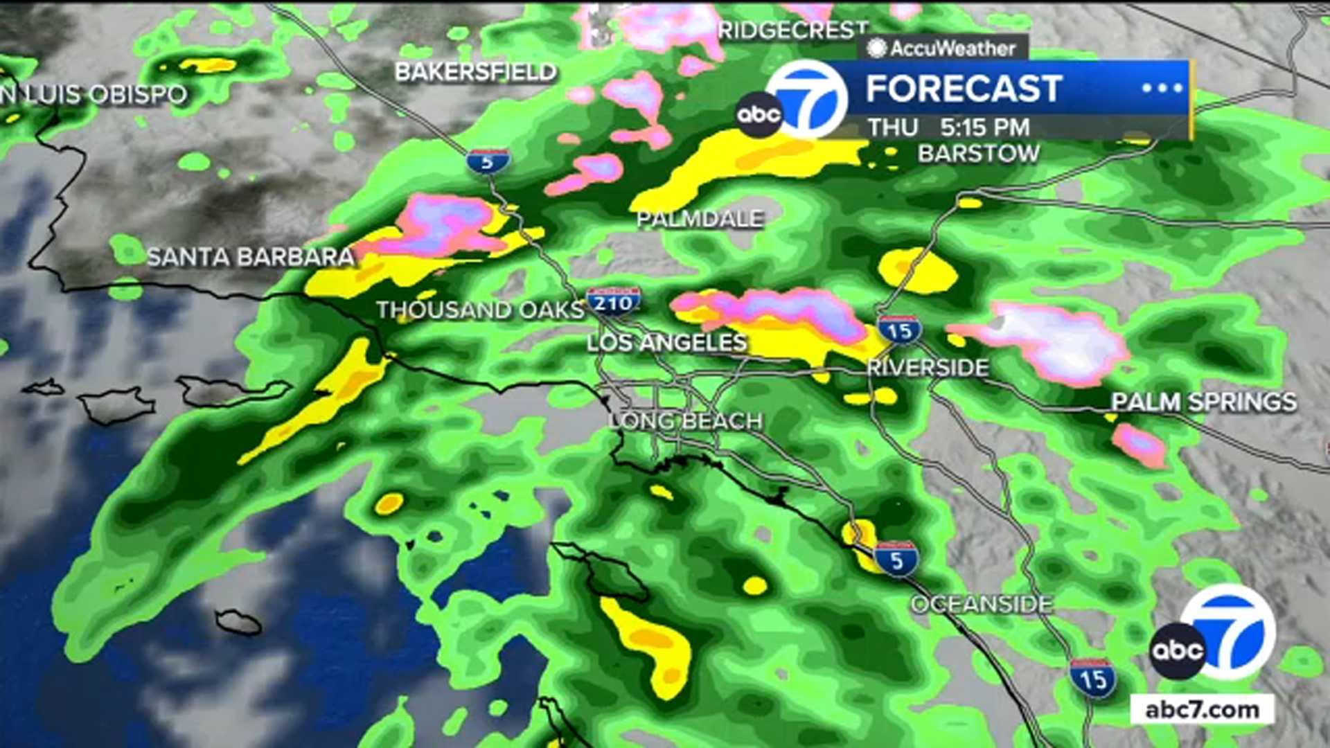
Meteorologist Brianna Ruffalo outlines an hour-by-hour timeline of when to expect the showers, which will start late Thursday morning in Ventura County. Light-to-moderate rain is expected to intensify by the afternoon, impacting Los Angeles County and possibly creating a messy commute for many.
The storm system will continue southeast, reaching the Inland Empire and parts of Orange County by around 7 p.m. Thursday. Once the sun sets, scattered showers are likely through the overnight hours and into early Friday, with some areas experiencing a brief break around 6 a.m. Friday.
Temperatures in Los Angeles and Orange counties will hover around 57 degrees during the day, dipping to 47 at night. Inland Empire valleys could see up to 3/4 of an inch of rain by Thursday evening, while mountain regions may experience snow flurries.
A Winter Storm Warning is in effect for the Sierra Nevada, where up to 18 inches of snow could accumulate above 8,000 feet. The National Weather Service warns that travel in these areas will become particularly hazardous. Residents in burn scar zones are on alert for possible mudslides, and evacuation orders have been issued in the most at-risk areas.
Emergency preparations are underway in Los Angeles, where Mayor Karen Bass has activated the city’s Emergency Operations Center. Emergency responders are distributing materials to help manage potential flooding and mudslide risks, particularly in areas with recent wildfires.
The storm is expected to bring continued rainfall and cooler temperatures over the weekend, with conditions gradually improving next week.