News
Storms Bring Rain and Winds to Ontario and Quebec

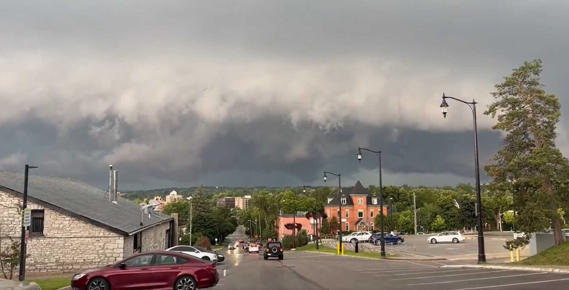
Toronto, Ontario – A mix of humid air and cold fronts disrupted weather patterns across Ontario and Quebec on Monday. The collision resulted in heavy downpours and gusty winds, causing localized damage and flooding.
In south Georgian Bay, over 75 mm of rain fell, leading to reports of storm damage. As July begins, isolated thunderstorms are expected to linger through Tuesday, with a weak front moving across the regions.
The stormy weather pattern is projected to continue throughout the week. Tuesday’s forecast shows that some instability from Monday’s actions will persist, particularly along and south of Highway 401. Winds from Lake Erie and Lake Ontario could trigger more storm activity.
In the Greater Toronto Area, skies should clear in time for evening fireworks, but Ottawa might still see morning showers and possible embedded storms, with conditions expected to improve by late afternoon.
A weak front will push through the GTA Tuesday morning, moving into southern Quebec by the late afternoon. This front will help break some of the humidity affecting the regions, but could also bring rumbles of thunder.
The majority of severe storms are predicted to remain in the United States. However, scattered storms are expected to affect the Ottawa Valley in the mid-afternoon and the St. Lawrence region by evening.
In northeastern Ontario and western Quebec, widespread scattered storms are forecast to persist throughout the day. Looking ahead, isolated lake-breeze thunderstorms may appear in parts of southwestern Ontario on Wednesday and Thursday, especially north of the lakes.
Weather models predict increased thunderstorm activity in southern Ontario through Tuesday evening. Residents are advised to remain alert to changing conditions and prepare contingency plans.
The Weather Network will provide ongoing updates on weather conditions in Ontario and Quebec.


