News
Severe Storms Expected in North Texas This Week
DALLAS, Texas – Severe storm risks are back in North Texas as rain is expected throughout the week. After a sunny weekend, residents should prepare for changing weather conditions starting Monday.
Meteorologist Evan Andrews forecasts that clouds will increase throughout Monday, with humidity rising. Scattered showers are predicted to begin around midday west of the Dallas-Fort Worth area, moving into the Metroplex by evening. Thunderstorms may develop Monday night, bringing a few rumbles of thunder.
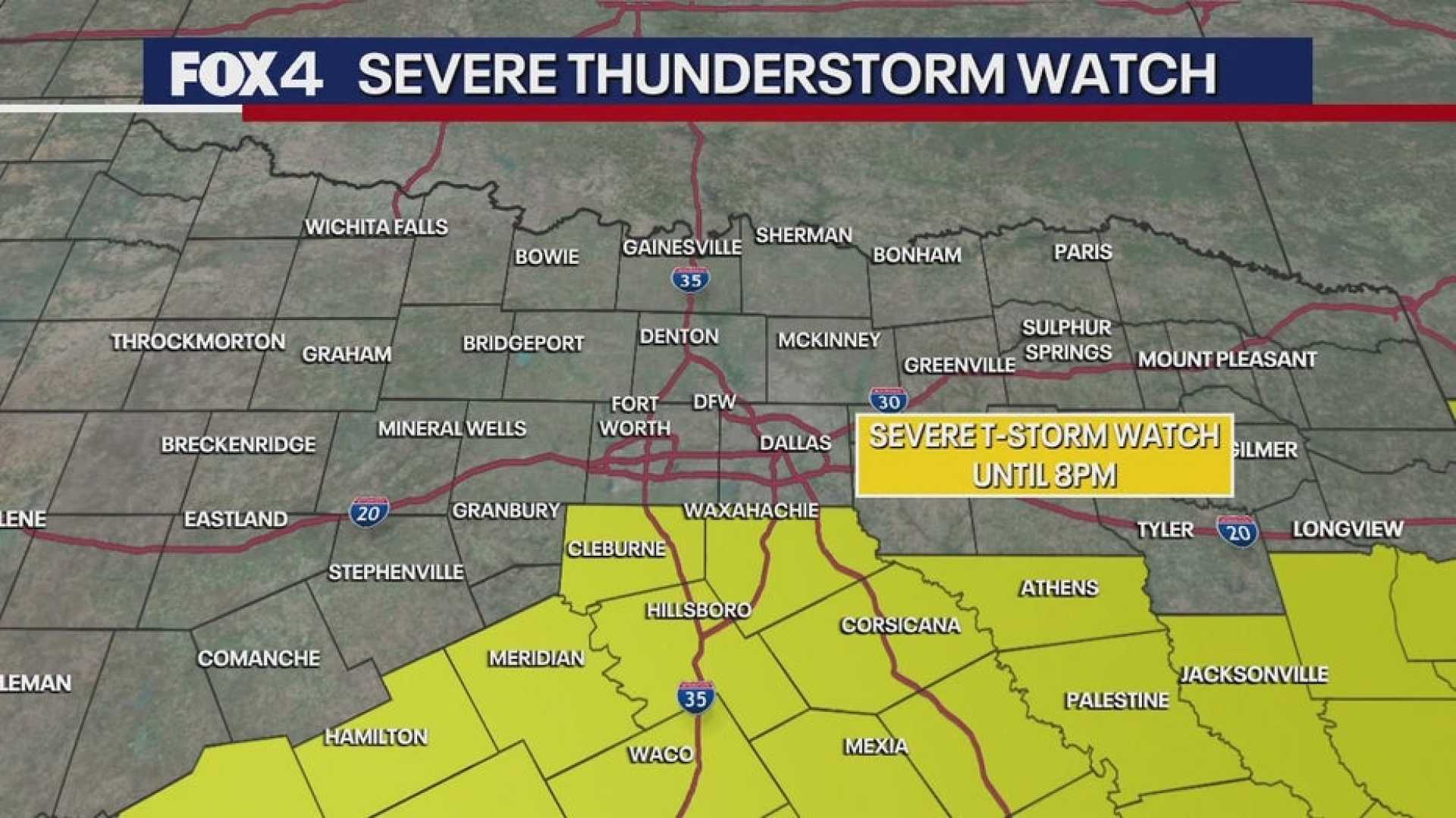
On Tuesday, widespread showers and thunderstorms are likely, with rainfall amounts between one to two inches possible. The National Weather Service warns that flooding is the main concern, along with risks of severe weather in the DFW area, including hail and damaging winds. Areas east and southeast could face a low-end tornado risk, as storms are expected to clear by late afternoon.
Wednesday is predicted to be the warmest day of the workweek, with just a 20% chance of rain and warmer air. However, rain chances will increase again late Wednesday night into Thursday, along with more cloud cover. Isolated storms could produce small hail, with temperatures remaining in the 70s.
By Friday, skies are expected to clear, making way for a beautiful Mother’s Day weekend. Saturday and Sunday are forecasted to be mostly sunny, with morning temperatures in the 50s and afternoon highs in the 70s and 80s.
A Flood Watch has been issued for the area in anticipation of the heavy rain expected. The watch will remain in effect all day Tuesday, as the storms move through North Texas.


