News
Metro Detroit Faces Severe Weather as Heavy Rain and Storms Approaches
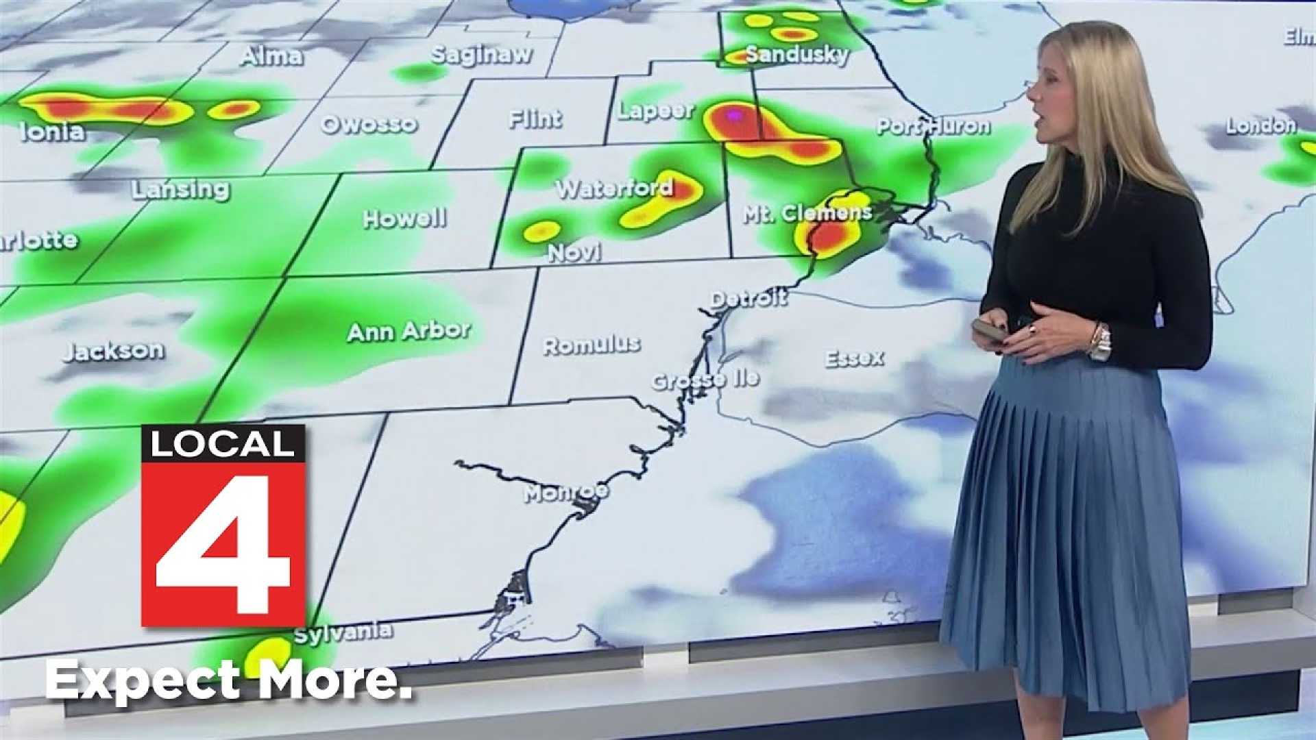
Detroit, Mich. – Thunderstorms are expected to roll into Metro Detroit tonight, bringing heavy rain and strong winds that could slow traffic and flood low-lying streets. The National Weather Service predicts the strongest storms will develop after 11 p.m., with a 90% chance of rain and localized downpours possible.
According to the National Weather Service in White Lake, showers will linger into Monday, and southwest winds may gust up to 18 mph. Rainfall totals could reach a quarter of an inch, but thunderstorms may produce even heavier pockets. Commuters should prepare for slick roads during Monday morning’s drive.
Tuesday and Wednesday are also expected to see rain, with mostly cloudy skies and temperatures in the mid-70s. Intermittent breaks in rainfall are anticipated, but prolonged dry conditions are not expected until late in the week. Southeast Michigan residents should plan for wet commutes, damp fields, and occasional outdoor disruptions through Thursday.
Drivers are urged to slow down during heavy rain, and residents in flood-prone areas should monitor drainage systems closely. The unsettled weather pattern is forecasted to persist until at least Thursday, when another round of showers is anticipated.
This early-week rain is welcomed news for a region that has been grappling with drought conditions. Much of Southeast Michigan is classified as abnormally dry, with certain areas experiencing moderate drought. Experts say the rain expected this week will offer some temporary relief by moistening parched soil, but more frequent rain is necessary to fully end the drought.
In addition to local storms, concerns are rising about Hurricane Gabrielle, a Category 3 storm now churning northward well southeast of Bermuda. Packing winds of 120 mph, Gabrielle is not expected to make a direct strike on the U.S., but its effects are likely to create ocean swells and dangerous surf along the East Coast.


