News
Severe Storms Expected in Charlotte Overnight
CHARLOTTE, N.C. — A severe thunderstorm watch has been issued for Tuesday night into early Wednesday morning as a set of strong storms is likely to sweep through the Carolinas, bringing heavy rainfall and strong winds. The watch is in effect from 6 p.m. Tuesday to 6 a.m. Wednesday.
A warm front will push north through the region, causing warmer, more humid air to invade the Carolinas. Meteorologists warn that if this moist air is met with enough sunshine, it will fuel the development of storms.
“Wherever the sun comes out, that’s where you see the CAPE or thunderstorm fuel jump up,” said WCNC Weather Impact Chief Meteorologist Brad Panovich during his weather forecast. He added, “Stay weather aware just in case we see a pop-up storm tonight.”
The thunderstorms are expected to start as isolated showers or storms as early as 6 p.m., with the main system rolling in between midnight and 6 a.m. Wednesday. The storms will move eastward from the mountains into Charlotte, where rain showers will gradually clear by 6 a.m.
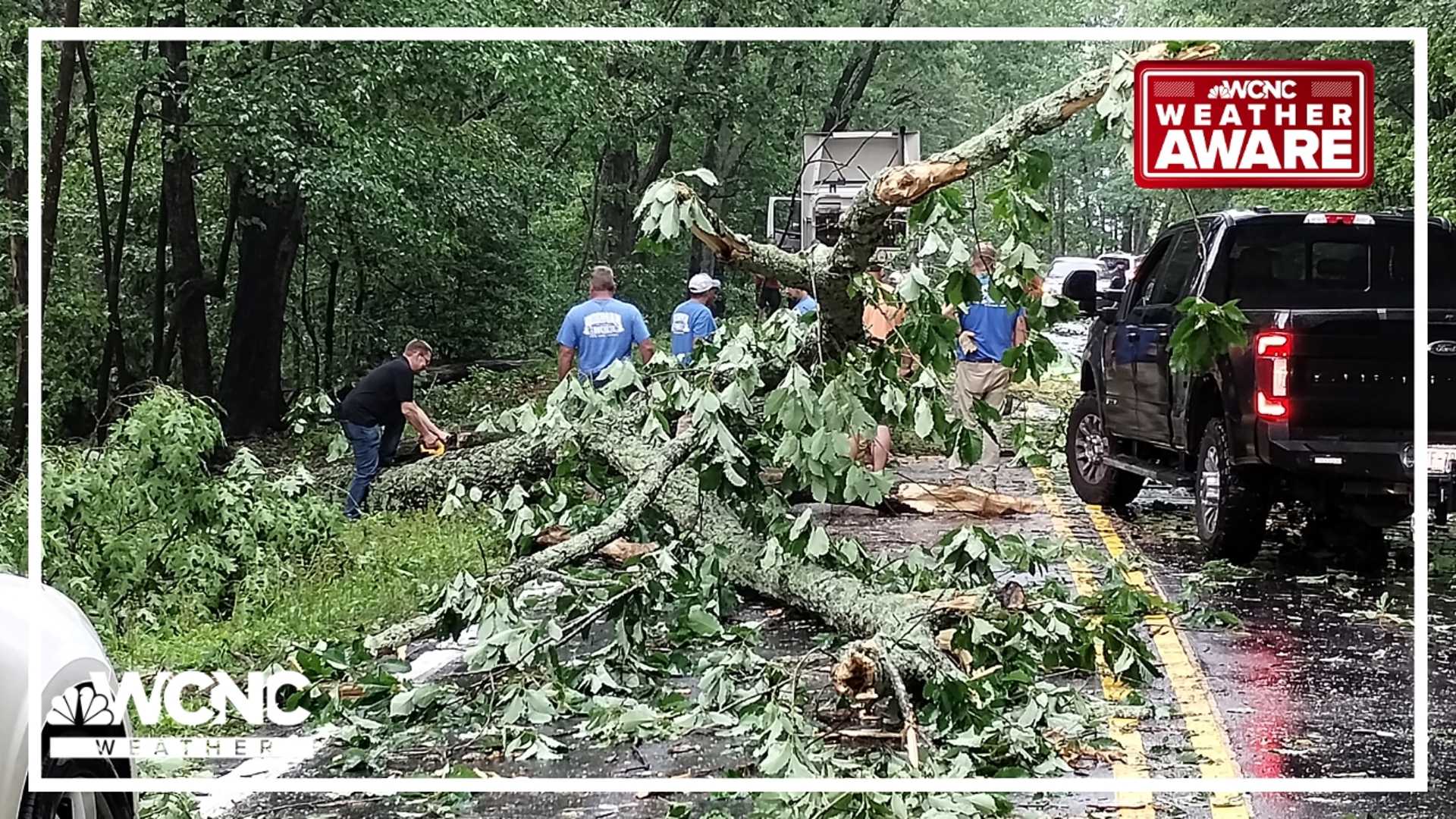
Wind gusts are predicted to exceed 30 mph in Charlotte, with gusts over 40 mph expected in the western North Carolina mountains. This blustery weather is likely to continue through Friday.
On Thursday, behind the cold front, cooler and drier air is forecast to sweep in, bringing high temperatures in the mid-70s. The primary threats from the storms are damaging winds up to 60 mph, hail up to one inch in diameter, heavy rain, and frequent lightning. While the tornado threat is low, a quick spin-up in mountainous areas cannot be ruled out.
<p“It’s like what we like to call a non-zero tornado,” Panovich explained, warning residents to remain vigilant during the stormy conditions.


