News
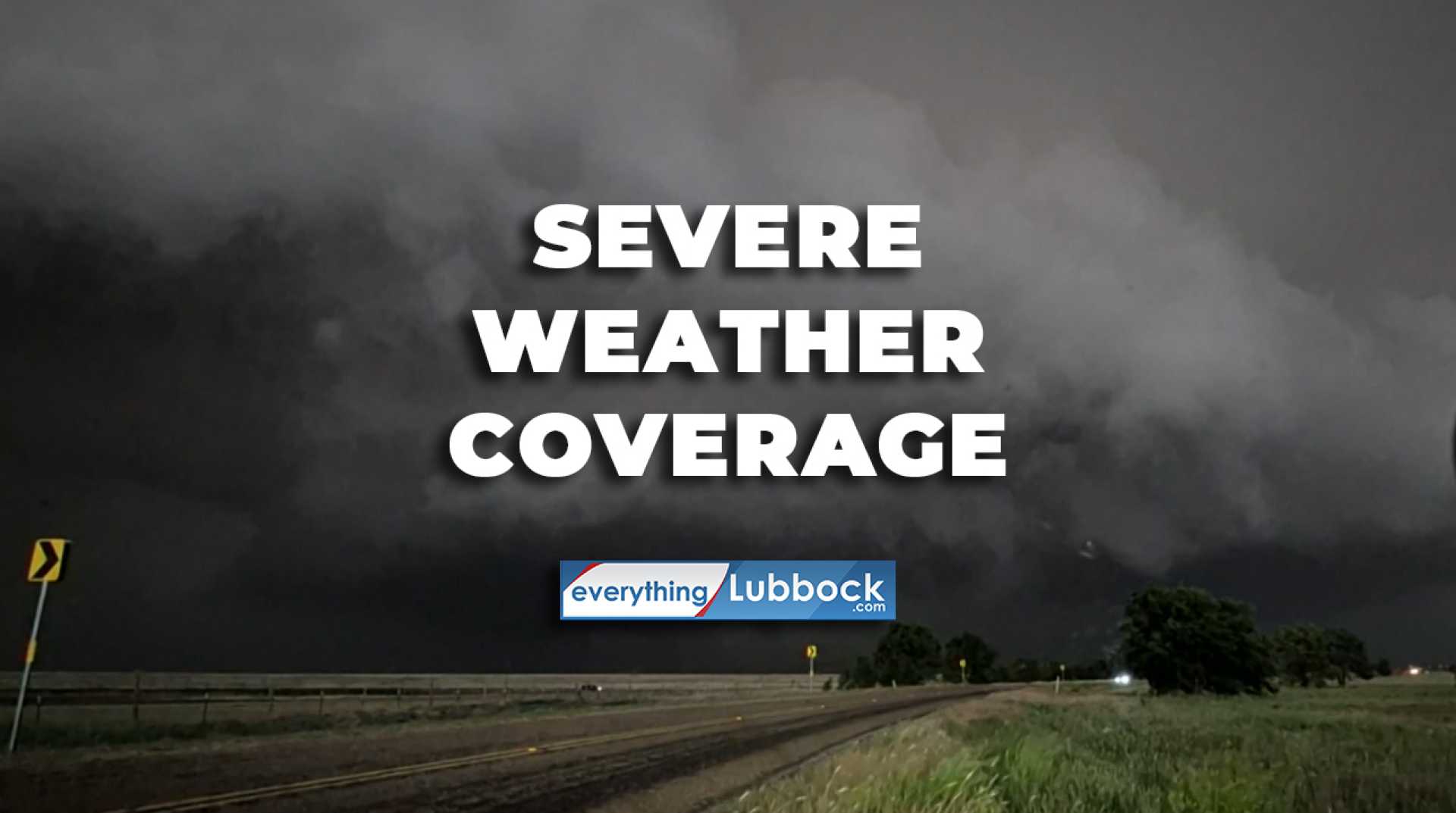
Severe Thunderstorms to Hit Southern Plains and East Coast on Sunday
DALLAS, Texas – Millions of people in the southern Plains and the East Coast are preparing for severe thunderstorms on Sunday, June 8, 2025. Forecasters warn that storms in Texas and Oklahoma could produce hail larger than 5 inches, with wind gusts reaching 80-100 mph and possibly some tornadoes.
FOX Weather Meteorologist Jane Minar reported that the Storm Prediction Center (SPC) has issued a Particularly Dangerous Situation (PDS) Severe Thunderstorm Watch for parts of western and central Kansas, northwest Oklahoma, and the Texas Panhandle. This type of watch is rare, having been issued only 25 times since 2006.
The SPC indicated that the risk of severe thunderstorms will escalate through the evening, particularly affecting North Texas and southern Oklahoma. The National Weather Service (NWS) anticipates widespread damaging winds with gusts up to 90 mph through Sunday night.
The latest severe weather warning follows reports of damage from previous storms, including an apparent tornado on Saturday in Oklahoma. The FOX Forecast Center is now calling Sunday a “very significant severe weather day,” with nearly 7.5 million people in cities such as Dallas and Fort Worth under a Level 4 risk.
In Oklahoma, more than 4 million people are at a Level 3 out of 5 risk, which includes cities like Oklahoma City and Tulsa. Meteorologists emphasize that while tornadoes are a concern, the primary threat will be destructive wind gusts from the storms.
The storms are expected to develop in the afternoon, peaking in intensity during the late afternoon and early evening hours. Conditions will be favorable for severe thunderstorms to form into a well-organized complex, bringing more widespread impacts.
On the East Coast, the threat extends along the Interstate 95 Corridor, where cities such as Washington, D.C., and Richmond, Virginia, are under a Tornado Watch. This watch affects over 10 million people in the mid-Atlantic region, remaining in effect until 10 p.m. ET.
The NWS has placed much of the eastern U.S. from Georgia to the nation’s capital under a Level 2 risk for severe weather, highlighting the potential for damaging gusts and tornadoes, particularly along the I-64 and I-95 corridors.
The Weather Prediction Center is also warning of flash floods in parts of the mid-Atlantic, with a Level 2 out of 4 risk in effect for seven states, including areas near Washington, D.C. Heavy rain could lead to further complications for residents already facing severe weather.


