News
Severe Winter Storm Hits Wisconsin, Dangerous Travel Conditions Expected
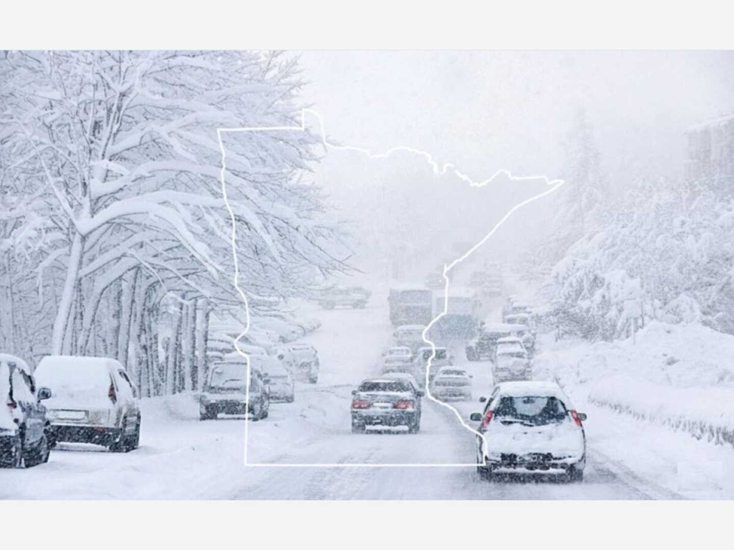
WISCONSIN — A major winter storm is moving across Wisconsin on Saturday, bringing heavy snow and hazardous travel conditions. The National Weather Service (NWS) in Milwaukee warned that conditions will worsen significantly this afternoon as snowfall intensifies.
A Winter Storm Warning is in effect through early Sunday for nearly the entire state. The NWS predicts the most dangerous travel conditions will occur late Saturday morning into the evening when snowfall rates are expected to peak.
Forecasters anticipate 8 to 12 inches of snow statewide, with higher totals possible in specific regions. Reports indicate that the heaviest snow accumulation will take place between noon and 9 p.m., primarily affecting east-central Wisconsin.
The NWS advised, “If possible, avoid travel this afternoon and evening,” due to rapidly deteriorating road conditions. Snow is expected to taper off early Sunday morning, but winds may reach 25 to 35 mph, with gusts over 40 mph, causing blowing snow across roadways.
Areas most at risk for blowing snow include southwestern Wisconsin and the eastern Iowa border. Even after snowfall ends, conditions will remain hazardous.
The full NWS forecast for Saturday includes: Snow throughout the day with highs near 33, and a 100% chance of precipitation. Additional accumulation of 4 to 6 inches is possible.
Travelers in southern Wisconsin, particularly around Madison and La Crosse, should prepare for significant snowfall, with total accumulations expected to reach 8 to 11 inches in many areas.
In Eau Claire, which is on the northern edge of the storm, 4 to 6 inches are predicted. As the system moves out, colder air will arrive, leading to temperatures near zero by Monday morning.
Central Wisconsin will see moderate snow accumulation of about 4 to 8 inches with heaviest snowfall expected this afternoon and evening. Northern counties, including Oneida and Forest, may experience lighter totals.
Residents are urged to stay informed and follow the NWS updates throughout the storm.


