Chicago to Face Warmer Fall with Mixed Winter Predictions

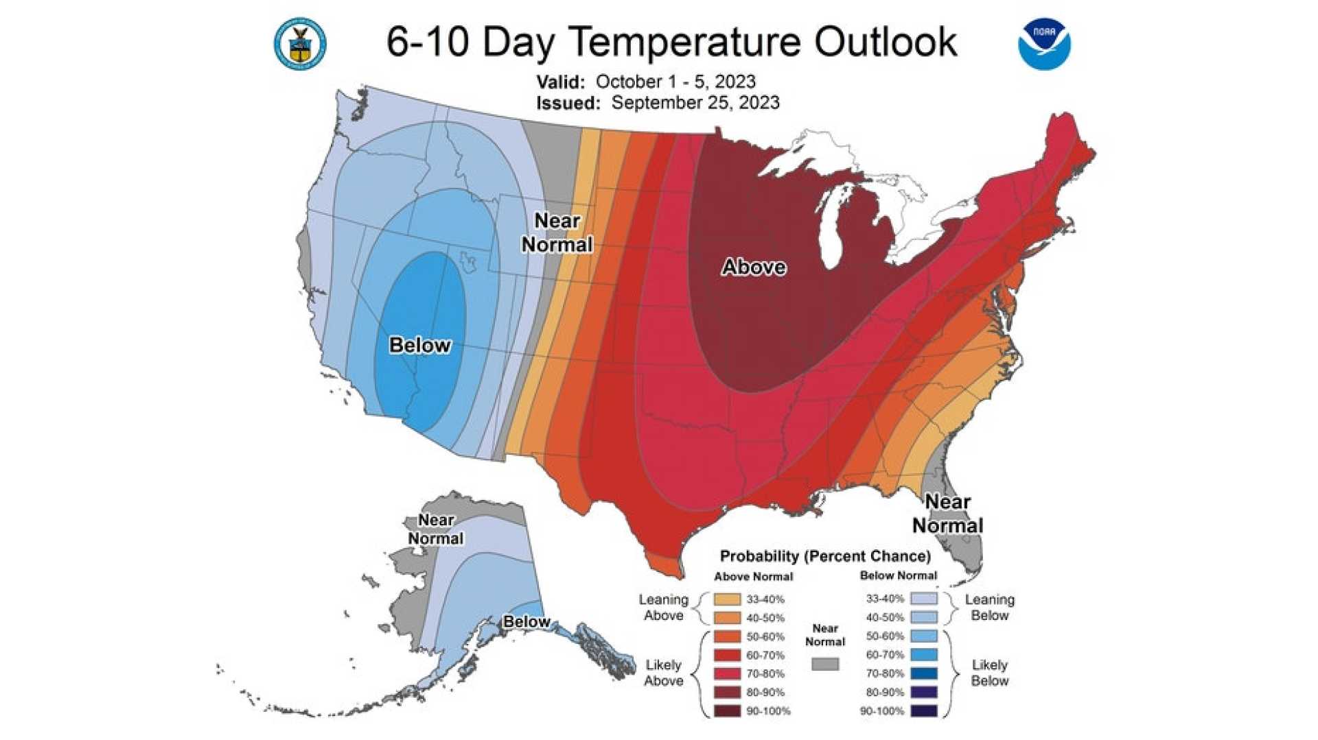
Chicago, IL — The NOAA Climate Prediction Center has forecast warmer-than-average temperatures and near-normal rainfall for the Chicago area this fall. Typically, fall in Chicago sees temperatures drop, with highs averaging 75.5 degrees Fahrenheit in September and falling to about 48.4 degrees by November.
In a usual year, rainfall remains consistent early in the season. Both September and October typically see over three inches of precipitation, while November averages around 2.5 inches. The first signs of snow often appear in fall, with Chicago averaging about 0.2 inches in October and 1.8 inches by November. However, with warmer temperatures anticipated, snow may be delayed this year.
NOAA defines “meteorological fall” as the period from September 1 through November 30. Looking ahead to winter, which spans December 1 through February 28, the forecast suggests a wetter-than-normal season with near-average temperatures. This winter outlook is influenced by a potential La Niña pattern, which can shift global weather patterns, typically resulting in a more active jet stream across the Great Lakes.
According to meteorologists, La Niña can lead to more frequent storms and above-average precipitation for the Midwest, while the southern U.S. may experience drier conditions. Chicago generally receives about 38 inches of snow each winter, with January being the coldest and snowiest month, where highs average in the low to mid-30s and lows descend into the teens.
While the winter temperatures are expected to remain near normal, the potential for enhanced snowfall due to La Niña is still a possibility if the pattern strengthens in the coming months. Albert Ramon, chief meteorologist for CBS2 Chicago, joined CBS2’s First Alert Weather Team in October 2021 and continues to monitor the shifting conditions.
