News
Flash Flood Watch Issued for Southern Blue Mountains in Oregon
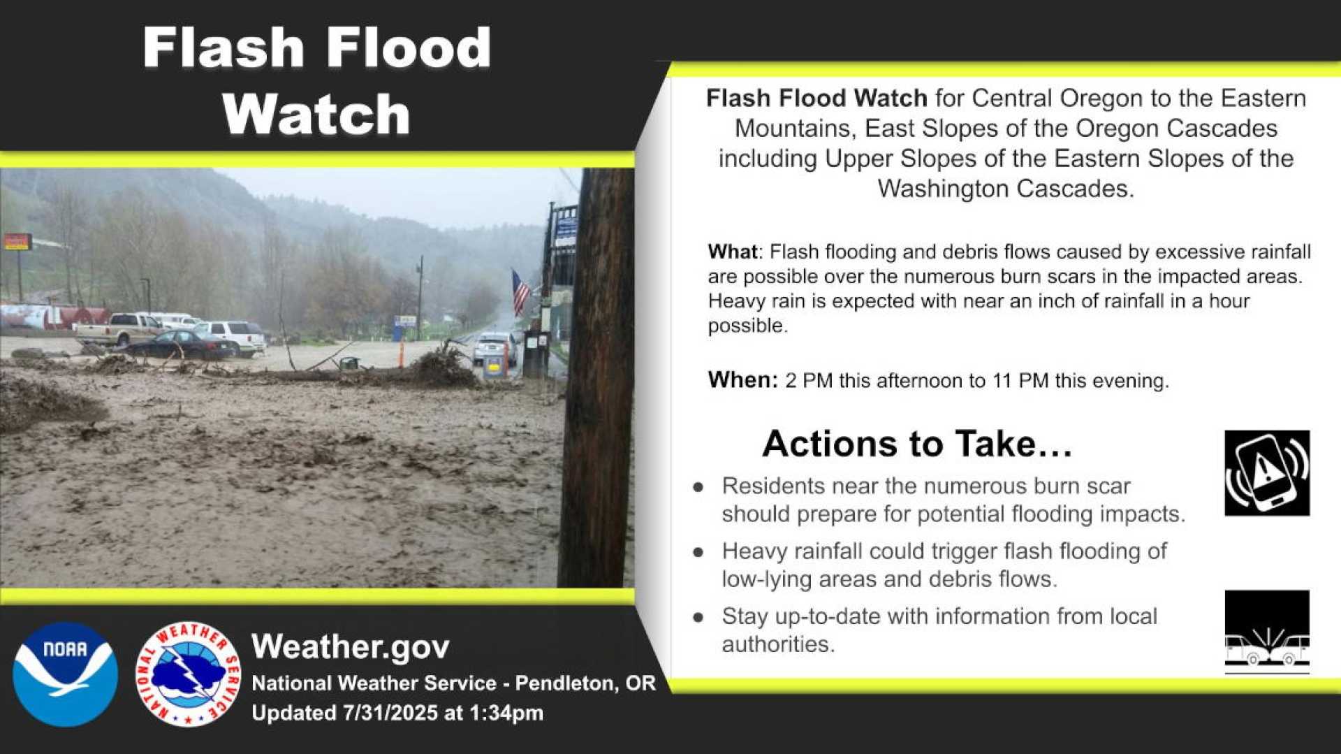
Portland, Oregon — On Friday at 1:21 p.m., the National Weather Service issued an updated flash flood watch for the Southern Blue Mountains, John Day Basin, and Ochoco-John Day Highlands. The watch is valid for Saturday from 11 a.m. to 11 p.m.
The weather service warns of significant moisture linked to a cold front, which may cause heavy rainfall and potential flash flooding, particularly around areas affected by wildfires in the 2024 and 2025 seasons. Rainfall rates could reach 1 inch per hour in thunderstorms.
Officials urge residents to stay alert and prepared for any Flash Flood Warnings that might be issued. A warning indicates that a flash flood is imminent or already occurring, requiring immediate action, especially in flood-prone areas.
The weather service advises people to seek higher ground if they reside in flood-prone regions or are camping in low-lying areas. It is crucial to heed evacuation orders if issued by local authorities. Residents should secure their homes and, if possible, disconnect utilities to mitigate electrical hazards during flooding.
“Never enter water that may be electrically charged or fast-moving,” cautions the weather service. Swollen waterways pose dangers even if they appear shallow. Driving through floodwaters is highly discouraged, as just 12 inches of swiftly-moving water can sweep away most vehicles.
In heavy rain, road safety becomes paramount. The service recommends maintaining a safe distance from other vehicles and driving slowly to avoid skidding. Drivers should also be cautious of large vehicles that can reduce visibility with tire spray.
As flooding risks increase, authorities remind residents to stay informed and follow local weather alerts. Advance Local Weather Alerts, a service provided by United Robots, compiles data from the National Weather Service to deliver timely updates.


