News
Major Winter Storms Set to Impact Millions Across the U.S.
WASHINGTON, D.C. — A series of winter storms are poised to impact over 96 million people across the United States this week, bringing snow, freezing rain, and frigid temperatures. The National Weather Service has issued various winter weather watches, warnings, and advisories from coast to coast.
As of Monday, more than 26 million people in states such as Missouri and West Virginia were under winter weather advisories, signaling potential travel hazards and slick roadways. The central Plains, Midwest, Ohio Valley, and mid-Atlantic regions are also under notice.
A low-pressure system from the Pacific is projected to interact with subtropical moisture from Hawaii, potentially causing flash flooding in already fire-scarred communities in California. Earth scientists at the Scripps Institution of Oceanography have indicated that debris flows and mudslides are possible.
The first storm is expected to develop across the central Plains, bringing rain and light icing to Oklahoma and Arkansas. By Tuesday, it is predicted to create moderate snow from Kentucky to Maryland, with the mid-Atlantic potentially facing the heaviest snowfall totals of 3 to 6 inches. Washington, D.C., and Baltimore are expected to see between 4 to 6 inches of snow, while New York City could receive 1 to 2 inches, with isolated areas seeing more.
“We also urge everyone to check on their neighbors, especially those who may need extra support in the days ahead,” said Zach Iscol, commissioner of New York City’s Emergency Management Department.
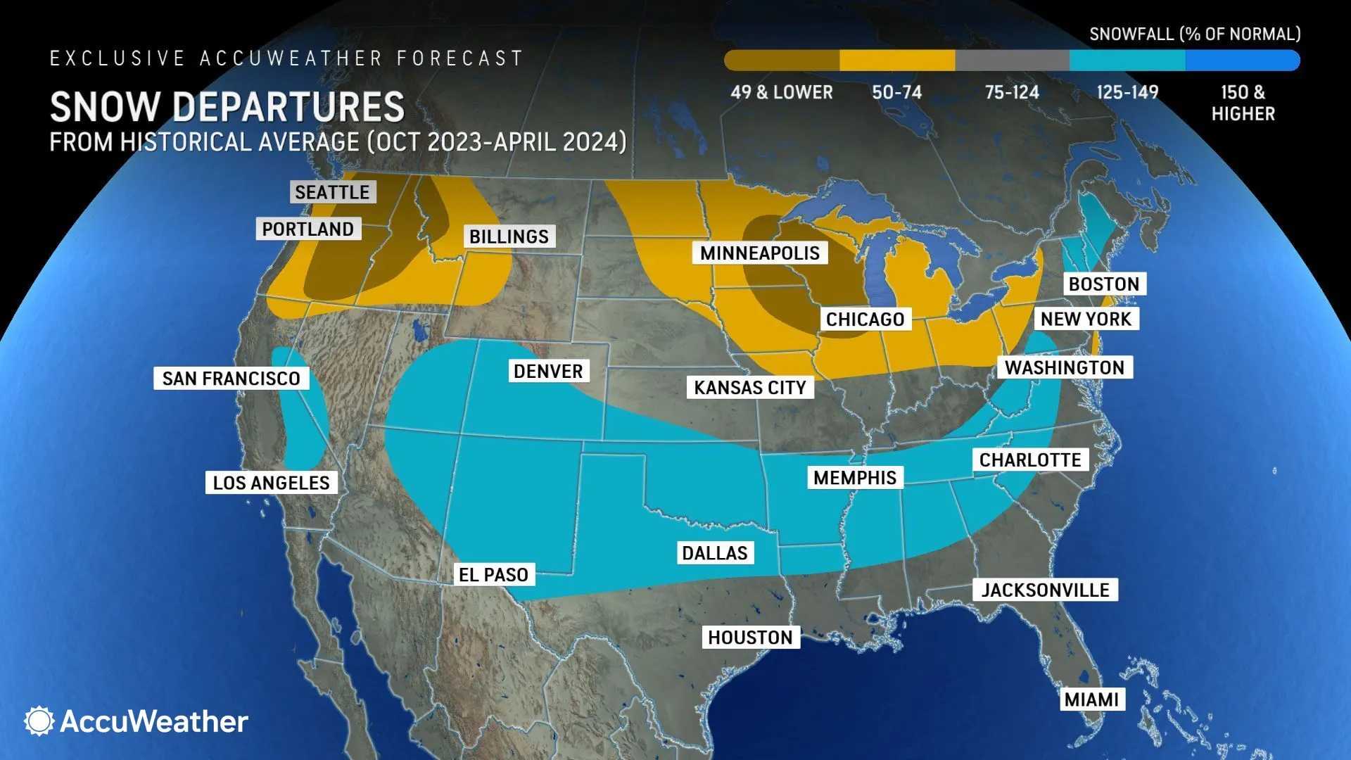
In preparation for the incoming storms, Washington D.C. Mayor Muriel Bowser announced that the city’s snow team would utilize 136 snowplows and 10 dump trucks, commencing operations at midnight with pre-treatment of roadways.
The southern flank of the storm system could bring heavy rain to the South later this week, with predictions of 1 to 3 inches of rain, raising concerns about localized flooding in cities such as Atlanta and Birmingham, Alabama. The National Weather Service has issued a slight risk of excessive rainfall over parts of the southern Plains, including Jackson, Mississippi, and Shreveport, Louisiana.
Adding to the winter weather woes, an influx of arctic air will drop temperatures by as much as 40 degrees below average across the northern Rockies and northern High Plains. A NWS report from Boulder, Colorado, indicated that “the main chunk of arctic air” would arrive midweek.
The second storm will transition into light snow by Tuesday evening across parts of Colorado, Nebraska, and Kansas, with moderate to heavy snow expected by Wednesday in major cities including Chicago and Detroit. Kansas City Mayor Quinton Lucas urged residents to limit travel during the heaviest snowfall anticipated on Wednesday.
Missouri Governor Mike Kehoe issued an executive order to help prepare for the anticipated weather impact, which includes relaxed regulations for shipping heating fuels and the potential mobilization of the National Guard.
In the Midwest, the heaviest snow is anticipated during Wednesday evening’s commute, with predictions of anywhere from 4 to 8 inches of accumulation in the Chicago area.
“These storms are serious, and they could be dangerous,” Lucas said at a news conference.
As the storm moves northeastward into Canada by Thursday, it will bring remnants of snow to northern New England and rain to the I-95 corridor from Boston to Raleigh, North Carolina. Strong to severe storms are also possible along the Florida Panhandle and Southern Alabama.
In southeastern Michigan, confidence is rising for a significant winter system expected late Wednesday into early Thursday, with some areas potentially receiving up to 8 inches of snow. Forecasters advise residents to stay tuned to weather updates.
The anticipated weather will likely generate hazardous conditions, especially in areas like Oklahoma and the surrounding Ozarks, where freezing rain is expected to pose severe travel risks.
Severe weather continues to plague much of the country, following a weekend snowstorm that left significant accumulation in the Northeast. Boston’s Logan International Airport recorded 5.5 inches of snow by Sunday evening alone.
To assist further discussions on the weather, meteorologists have noted that a stronger system moving into California may bring substantial rainfall and wind conditions, posing additional challenges.
The Center for Western Weather and Water Extremes has classified the anticipated atmospheric river of precipitation as a moderate AR-2 storm, analyzing potential flash flooding as it approaches.
“Let me summarize the week with a personal note,” said National Weather Service meteorologist Dylan Flynn. “It will definitely be our wettest storm period in the past year,” particularly for regions like San Diego which could expect rain starting Thursday.


