News
Rain Chances Increase for Florida’s Suncoast Next Week
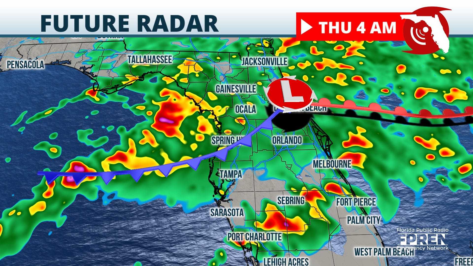
SARASOTA, Fla. (WWSB) – Long-range computer models indicate a good chance of rain developing for Florida‘s Suncoast early next week. A trough of low pressure originating from the west is projected to move south of the Great Lakes, driving a potent cold front toward the region by next Tuesday.
As the cold front approaches, showers and potentially thunderstorms may be triggered. Meteorologists caution that while it is too early to predict severe weather, the possibility of stronger storms cannot be ruled out at this time.
“The specifics of the forecast will become clearer as the dates approach,” said Chief Meteorologist Aaron White. “However, residents should prepare for changing conditions.”
Starting today, winds will shift to the southwest, bringing in moisture from the Gulf of Mexico and increasing humidity levels across the region. A weak cold front is expected to sweep through by tomorrow, resulting in increased cloud cover. Forecast models suggest that this front may pass dry, mainly impacting temperatures rather than precipitation.
“We anticipate daytime highs on Friday to drop about 10 degrees, influenced by the incoming cooler air and breezy winds,” White added. “Saturday morning temperatures could fall into the low to mid-50s.”
However, the return of warmth is not far off. By Sunday, temperatures are expected to rebound, reaching highs near 80°F. The warm spell will continue into Monday as residents prepare for possible rain by Tuesday.
The National Weather Service advises the public to stay informed and monitor local forecasts as conditions evolve in the coming days. For updates and detailed forecasts, residents can consult their local weather channels.


