News
Severe Storms and Tornado Warnings Sweep Chicago Area
CHICAGO, Ill. – A series of severe storms are expected to impact much of the Chicago area this afternoon, prompting the National Weather Service to issue multiple warnings, including a Tornado Warning for parts of Newton and Lake counties.
The storm system is moving northeast at an alarming pace, with a Severe Thunderstorm Warning currently in effect until 3 p.m. for Will and southern Cook counties. Wind gusts could reach up to 60 mph in these areas. Meanwhile, severe storms over Manhattan and New Lenox are reported to be traveling at 55 mph.
In addition, Newton and Jasper counties will experience a Severe Thunderstorm Warning until 3:15 p.m., with expected wind speeds reaching up to 70 mph. McHenry, Lake, and parts of far northwestern Cook County are also under a warning that will expire at 2:30 p.m., with threats of wind gusts and penny-sized hail.
The Tornado Watch covers a vast region of the Chicago area until 7 p.m. This watch includes Cook, DuPage, Ford, Grundy, Iroquois, Kane, Kankakee, Kendall, Livingston, and Will counties, extending into parts of northern Indiana and southwest Michigan.
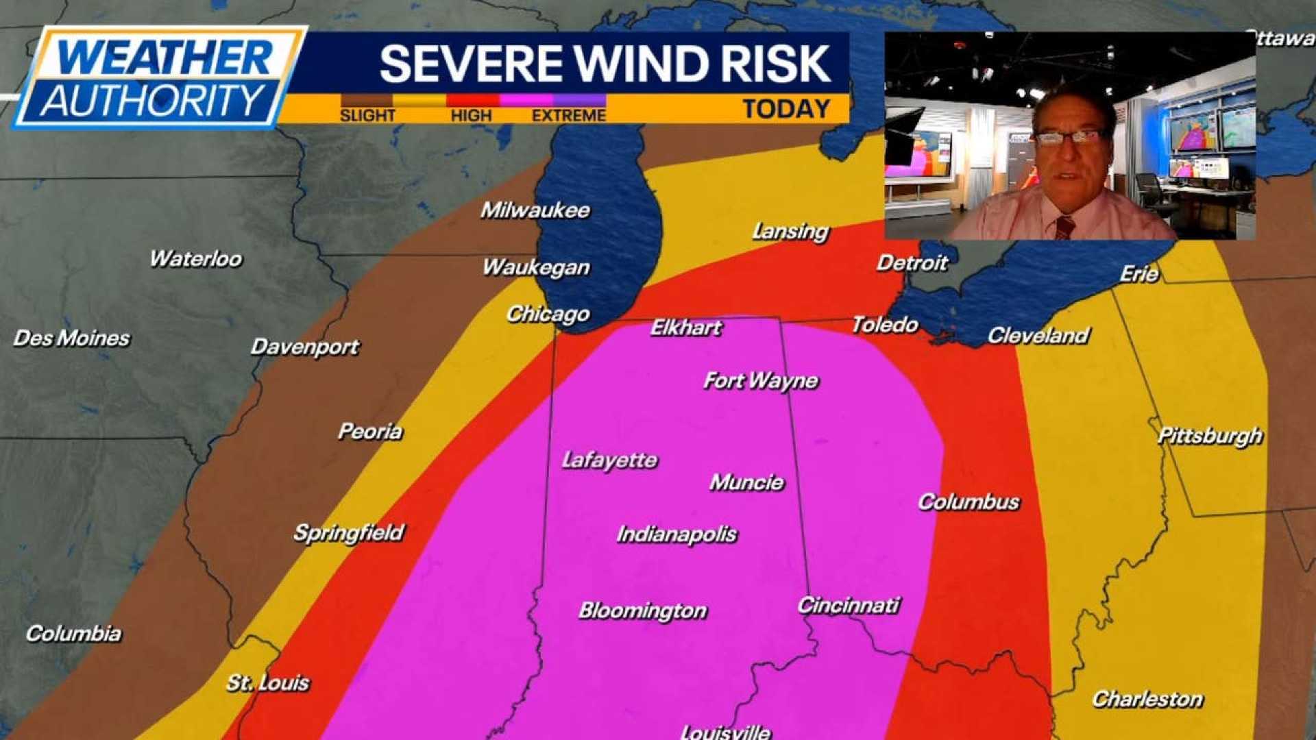
The Storm Prediction Center has designated areas southeast of I-55 as having an “Enhanced Risk” (level 3 out of 5) for severe storms today. Areas near and along I-55 are classified under a “Slight Risk” (level 2 out of 5), while the northern and northwestern parts of Chicagoland fall under a “Marginal Risk” (level 1 out of 5).
Fox 32 Meteorologist Mark Strehl emphasized that while all regions in Chicagoland face severe storm risks, the most hazardous conditions will be located along and southeast of I-55. He noted that the primary concerns are damaging winds up to 75 mph and large hail capable of reaching 2 inches in diameter. Tornado formation is also a possibility.
Meteorologist Mike Caplan from Fox 32 indicated that predictive models suggest the storm system is moving faster than originally anticipated. Storms are expected to reach the Chicago area around 2 p.m., exiting by 4 p.m. and moving into Indiana.
Residents are urged to stay alert and utilize emergency weather notification systems. Fox 32 recommends downloading their Weather App, which provides timely alerts for any warnings specific to user locations.
As storms begin to make their way out of the region, weather patterns are expected to shift, bringing cooler temperatures and winds from the north with highs anticipated only in the low-to-mid 40s on Monday. Any further precipitation overnight could change to mixed precipitation or brief snow, but significant accumulations are not forecasted.
The threat of severe weather is not limited to Illinois, as Oklahoma is also bracing for strong storms. A low-pressure system moving eastward from Omaha is creating hazardous weather conditions, including a risk of hail and damaging winds.
The combination of these severe weather systems highlights the unpredictable nature of spring storms across the Midwest, compelling residents to remain vigilant and prepared during this period.


