News
Severe Weather Hits North Georgia with Thunderstorms, Tornado Threats
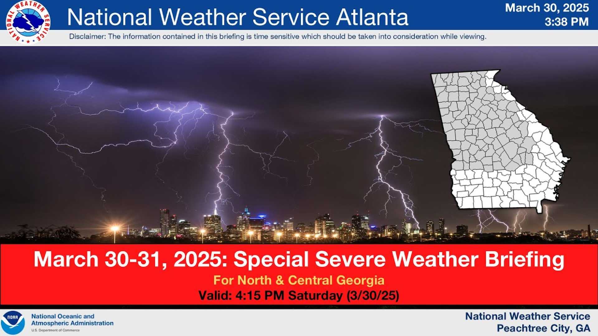
ATLANTA, Ga. (AP) — North and central Georgia are bracing for severe weather today as thunderstorms, potential tornadoes, and damaging winds threaten the region. The National Weather Service has issued multiple warnings, including severe thunderstorm watches, with the most critical timeframe expected between 10 a.m. and 5 p.m.
The latest updates show that a Severe Thunderstorm Warning will expire at 1:30 p.m. for Butts, Clayton, Fayette, Henry, Newton, Rockdale, and Spalding counties. As of 1 p.m., DeKalb County is under a Severe Thunderstorm Warning until 1:15 p.m., which may be extended. Notably, tornado warnings that had previously included areas like Coweta, Fayette, and Clayton counties are now canceled.
Upson County has reported multiple lightning strikes, highlighting the volatility of the system moving through. A ground stop has also been initiated for Hartsfield-Jackson Atlanta International Airport in response to the severe thunderstorms.
A significant threat to property and life has been noted in Rockdale, Gwinnett, DeKalb, Coweta, Forsyth, Clayton, and several other counties. A Severe Thunderstorm Watch will remain in effect until 7 p.m., as the storm system continues to sweep through the region, drawing moisture from the Gulf Coast and traveling eastward from Mississippi and Alabama.
“The primary threat from these storms is damaging wind and large hail, with the possibility of tornadoes,” said a meteorologist with the National Weather Service. “We’re closely monitoring the situation as these storms move toward the metro Atlanta area later this afternoon.”
The storms are expected to arrive in metro Atlanta by 1 p.m. and persist through 4 p.m., resulting in heavy rain, potential hail, and strong winds. Following the front’s passage, calmer weather will emerge this evening, leading to a drop in temperatures into the 40s overnight.
Looking ahead, the weather forecast indicates a rapid transition. Following today’s cooldown, temperatures are projected to climb, with highs reaching the upper 80s to near 90 degrees by Thursday and into the weekend. This week is also notable for high pollen levels, which today’s rain may alleviate temporarily, but warmer conditions are likely to exacerbate spring allergens.
In conjunction with the severe weather in Georgia, NOAA’s Storm Prediction Center has issued multiple severe thunderstorm watches across the South, with some storms already generating warnings. Reports of severe weather since Saturday night total over 500 across the Southern Plains and Midwest, mostly consisting of damaging wind and hail.
As April approaches, another low-pressure system is anticipated, potentially leading to further severe weather across parts of the Midwest and South on Tuesday and Wednesday, with forecasters warning of a significant outbreak capable of producing damaging winds, large hail, and tornado activity.
For the latest weather updates and warnings, residents are urged to stay tuned to local news stations and seek shelter if warned about severe weather conditions.


