News
Severe Thunderstorm Warnings Impact DC Area Until Evening
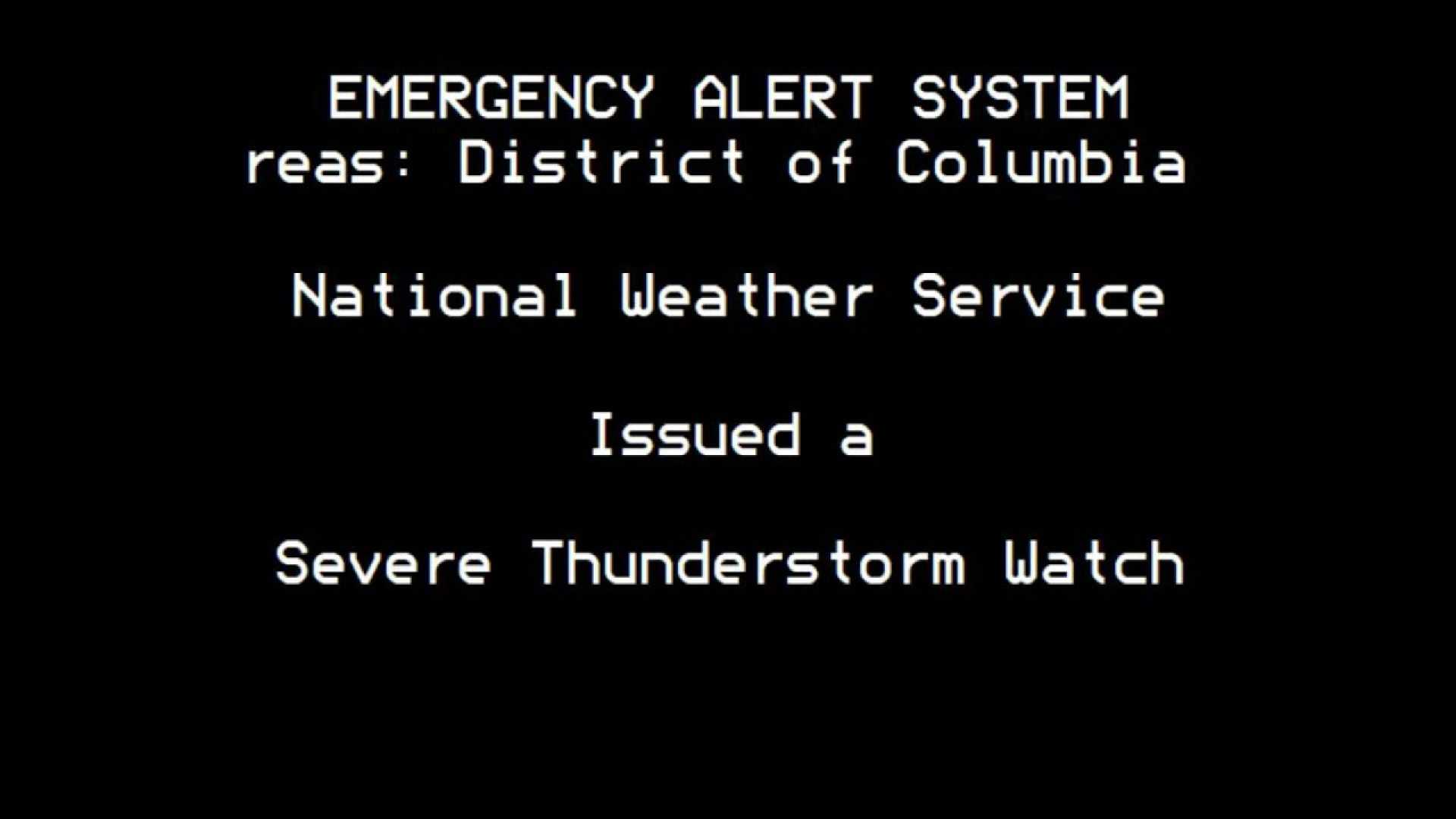
WASHINGTON – Severe thunderstorm warnings have been issued for multiple counties in the Washington, D.C., area until 5:30 p.m. Thursday. Ground stops were activated at Ronald Reagan Washington National Airport (DCA), Washington Dulles International Airport (IAD), and Baltimore/Washington International Thurgood Marshall Airport (BWI) due to the incoming storms.
The National Weather Service warns of a heightened risk for severe weather this afternoon, including strong storms and the potential for isolated tornadoes as a cold front moves through the region. A Flood Watch is in effect for parts of the Interstate 95 corridor.
The day started off dry and humid, with temperatures in the 70s accompanied by patchy fog. Showers are expected to develop between noon and 2 p.m., but the risk for thunderstorms increases significantly after 4 p.m. Firestorms are projected to hit between 5:30 and 6 p.m., bringing heavy rainfall and damaging wind gusts of up to 70 mph.
“Today’s storms could lead to large hail and isolated tornadoes,” said a meteorologist from the FOX 5 Weather Team. “Conditions should clear quickly later tonight, leading to a drop in humidity.”
Looking ahead, summer officially starts on Friday with dry weather bringing temperatures in the upper 80s. The weekend is forecast to be sunny and hot, with highs expected to reach into the 90s. A potential heatwave is in the forecast for next week.
As a potential heavy weather system approaches, residents in the mid-Atlantic are bracing for storms through the Father’s Day weekend. “Although rain may disrupt some weekend plans, we don’t expect a complete washout,” the meteorologist added.


