Cold Front Hits Alabama; Freeze Warning Issued for Northern Counties

ON THE MAPS, ALABAMA – A cold front sharply dividing the state is bringing significant weather changes this morning.
As of early Monday, April 7, 2025, rain continues to fall across parts of East and South Alabama while much colder air is moving into northern regions following the frontal passage. Temperatures are expected to remain in the 50s throughout the northern half of the state today. Although rain is expected to taper off this afternoon, the cloud cover will persist.
The National Weather Service has warned that the coldest temperatures of this late-season cold snap will occur early Wednesday morning, with lows dropping into the low to mid-30s in northern and central counties. Frost is likely, and some areas may experience a hard freeze. Meteorologist James Spann stated, “This will likely be the last widespread freeze and frost threat of the season, enabling residents to begin spring planting afterward.”
Tomorrow is anticipated to be mostly sunny and cool, with highs reaching the 60s statewide. A disturbance projected to pass through Alabama late Thursday night into Friday may bring some light rain, but precipitation amounts are expected to remain under a quarter inch.
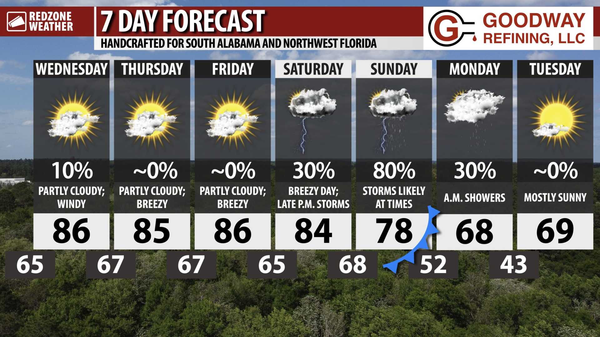
Looking ahead, highs are predicted to rebound into the 70s on Thursday before dropping to the 60s on Friday. By the weekend, weather forecasts indicate a cooler and drier pattern across the Deep South, with lows mostly in the 40s and high temperatures reaching the 60s on Saturday and the 70s on Sunday.
The upcoming week appears mostly dry as an upper ridge starts to rebuild, leading to daytime highs returning to the low 80s.
Storm surveys recently concluded by the NWS Huntsville have identified three EF-1 tornadoes from the weekend’s storm system affecting Sheffield, Tuscumbia, and near Aqua Vista/Elgin. Further survey work will continue today to assess damage and impacts.
Preliminary radar data suggests that rainfall totals in Baldwin County—particularly around Spanish Fort—may have exceeded one foot, causing localized flooding and disruptions.
